09.21.10
World Wide Weather #18: Sarh, Chad
This week’s post in the global weather and climate series features Sarh, Chad.
This time of year, central African weather is dominated by tropical (aka easterly) waves. Tropical waves are low-level troughs within the tropics, which provide lift for thunderstorms and are a major source for tropical cyclone development.
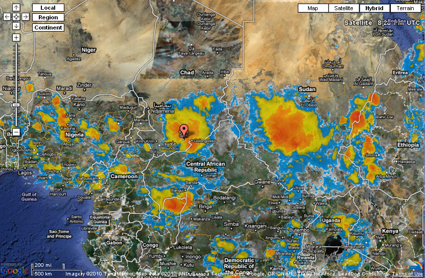
Sarh, in south central Chad, is currently under a cloud cluster associated with one of these tropical waves. If the tropical wave survives its journey across Africa, it could have a chance at becoming a tropical cyclone in the Atlantic Ocean.

Infrared satellite image over central Africa, showing at least two cloud clusters associated with tropical waves. From Weather Underground. Click to enlarge.
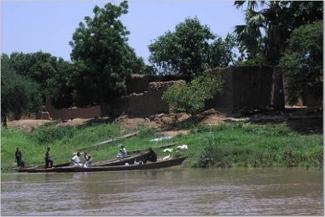
Sarh has a population of 108,061, and is the 3rd largest city in Chad. Located on the Chari River, Sarh is about 30 miles north of the Central African Republic. Sarh, formerly known as Fort Archambault, was founded by the French for returnees from Congo-Ocean Railway labor camps. Today Sarh is a major transport hub and a center for the cotton industry.
A few more facts about Sarh (weather data from World Climate):
- Time zone: West Africa Time (UTC+1)
- Elevation: 1,138 feet
- Climate zone: Tropical savanna
- Average high temperature: 95 °F (35 °C)
- Average low temperature: 71 °F (22 °C)
- Average annual precipitation: 38 inches (969 mm)
Current weather: Sarh is expecting thunderstorms to continue throughout this week and next, as a result of the tropical wave currently over Sarh and the next one coming their way. Highs this week will be in the upper 80s to lower 90s, with lows in the lower 70s and dewpoints in the upper 60s to lower 70s.
For weather maps and information on current and forecast Sarh and Chad weather, see Weather Online UK (maps, models, and forecasts for around the world), and Weather Underground.
For more information on Sarh, here’s a link to Wikipedia.
Next Tuesday I plan to take a look at the climate and weather in another part of the globe. As always, if you have any comments or suggestions for future cities, please leave a comment on this post!
