01.29.10
Round 3
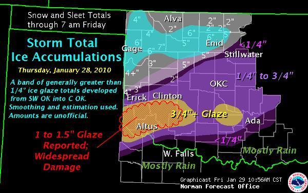
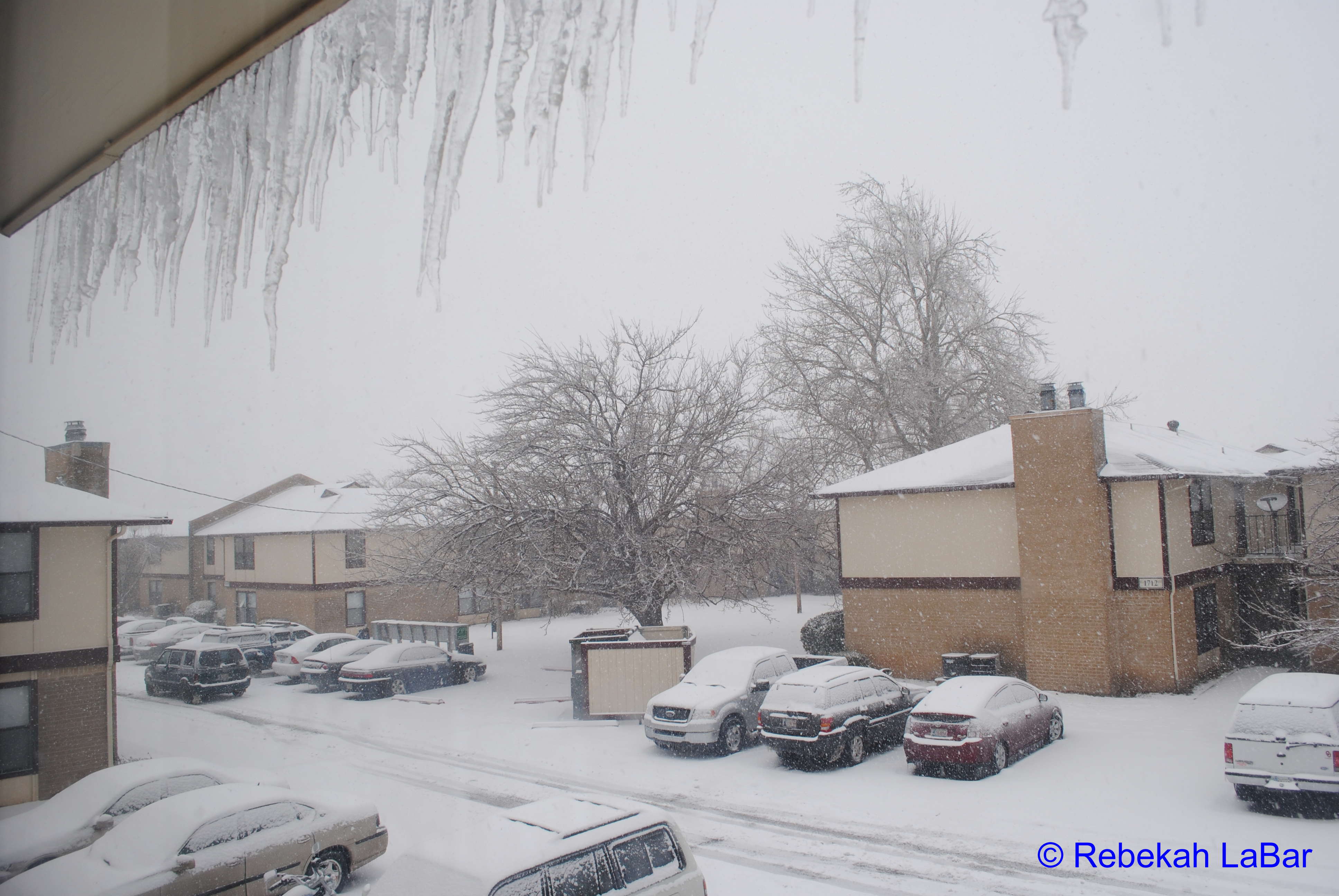
It’s been snowing all day and most of the night. The TV is still calling this “Ice Storm 2010″, even though there is already more snow than there was ice. There was about 0.5” of ice and now a couple of inches of snow and we’re expected to get a few more inches by the end of the day. It should taper off by early evening or so, once the dry air moves in.
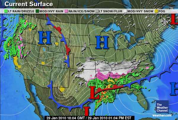
Right now the freezing rain and sleet is coming down in Arkansas and Tennessee. The storm is expected to bring ice and snow all the way to the East Coast through tomorrow.
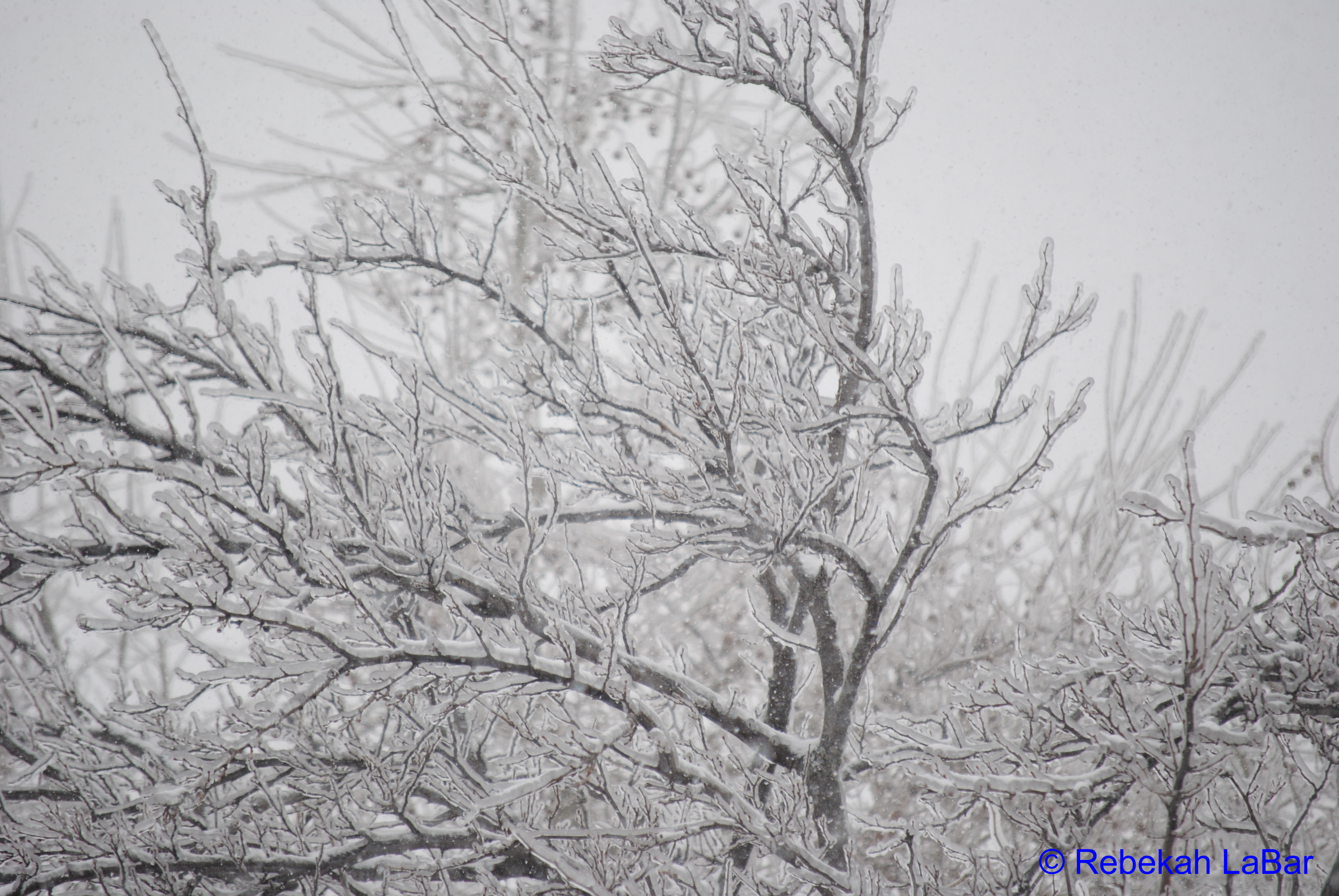
I haven’t ventured outside yet, but if the snow tapers off before dark I may carefully go out to snap a few photos of the trees. As of now I’ve just got some photos of the icicles, ice, and snow outside my window.
This ice/snow storm is practically a textbook setup, with a large high pressure system bringing arctic air southward from Canada, behind a cold front extending from a strong surface low off the New England coast. There’s also the surface low to our south, complicating matters…while this may be a classic-looking setup, it’s also a complex forecast problem because of the warm-air advection. In the low-levels of the atmosphere, a southerly wind brought relatively warm air from the Gulf of Mexico into the area, and that’s what caused the main problem with forecasting precipitation type (a lot of warm air in the low/mid levels = freezing rain, a shallow layer of warm air above a deep layer of cold air near the surface = sleet, sub-freezing from cloud to ground = snow)…this is apparent on the soundings and upper-air maps. The snow is now coming behind the surface low, which is now in southeast Texas.


