03.27.10
Severe Thunderstorms in Arkansas
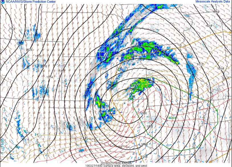
There is a slight chance of severe thunderstorms in Arkansas and southern Missouri this afternoon and evening. The greatest threat is for hail and strong winds, although I would not be completely shocked to hear of a tornado report or two (especially in northern Arkansas, where moisture is greatest).
There is currently an occluded low-pressure system centered over north central Oklahoma/south central Kansas. This low-pressure system is what we call a “cold-core low”; in other words, it is vertically stacked throughout the troposphere (i.e., the upper-level low is situated directly above the surface low) and it is colder within the cyclone than it is outside the cyclone.
Instability and moisture are not great, but this is not as necessary with a cold-core setup. If there is just enough moisture for thunderstorms to form, lift and ambient vorticity (i.e., rotation) in the vicinity of the low could be enough for low-topped supercells to form (think March 8 this year…).
