08.10.10
World Wide Weather #12: Puerto Ayora, Galápagos, Ecuador
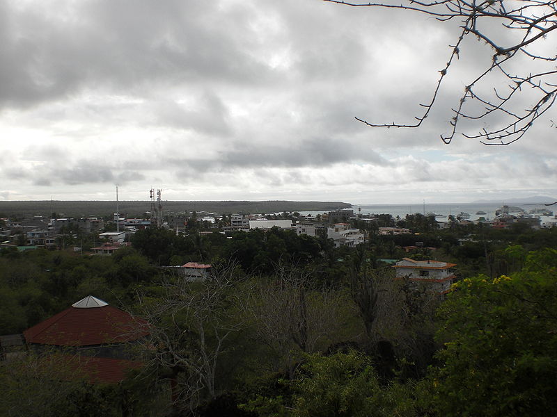
This week’s post in the global weather and climate series features Puerto Ayora, in the Galápagos Islands.
-
-
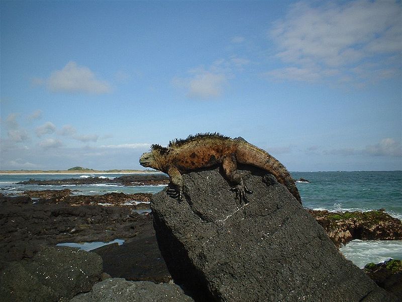
The Galápagos Islands are an archipelago of 18 volcanic islands that are governed by the country of Ecuador, located about 600 miles to the east. Situated on and near the equator, the Galápagos Islands are known for their wide variety of animals. The islands were discovered by the Spanish in the early 16th century, but until the early 19th century, they were frequently used as hideouts by English pirates who preyed on Spanish ships carrying riches from South America to Spain. The Galápagos Islands are also famous for being the study area of Charles Darwin, who sailed there on the HMS Beagle in 1835.
On the southeastern coast of Santa Cruz Island, Puerto Ayora is the largest city in the Galápagos Islands. Puerto Ayora is home to about 18,000 people (there are about 23,000 in the entire island chain) as well as the Charles Darwin Research Station, a biological research station focused on conservation of the Galápagos Islands’ terrestrial and marine ecosystems.
-
A few more facts about Puerto Ayara (weather data from Eos Ecuador, averaged over the islands):
- Time zone: Galápagos Time (UTC-6)
- Elevation: 0 to 52 ft above mean sea level
- Climate zone: Tropical
- Average high temperature: 80 °F (27 °C)
- Average low temperature: 68 °F (20 °C)
- Average annual precipitation: 9 inches (230 mm)
Weather in the Galápagos Islands is warmer and wetter from January to June and cooler and drier from July to December. During El Niño, temperatures are warmer and rainfall is greater, while during La Niña, temperatures are cooler and rainfall is less.
Temperatures do not vary much on the islands, especially on the coastlines.
Current weather: Puerto Ayora is currently in the dry season, when any precipitation that does fall is generally in the form of drizzle. This week, Weather Underground is forecasting high temperatures from 69 to 71 °F and lows from 66 to 68 °F (not much variability, as the temperatures are primarily governed by the water temperature). Skies will usually be clear, with the exception of Wednesday and Friday, when there is a 20% chance for trace amounts of rain.
For more information on Puerto Ayora, here’s a link to Wikipedia. For more information on the Galápagos Islands, here’s another link to Wikipedia.
For weather maps and information on current and forecast Galápagos Islands and Ecuadorian weather, see the Instituto Nacional de Meteorología e Hidrología (Ecuador’s national weather service, in Spanish) and Weather Online UK (collection of maps and weather information for all over the world).
Next Tuesday I plan to take a look at the climate and weather in another part of the globe. As always, if you have any comments or suggestions for future cities, please leave a comment on this post!

