08.17.10
World Wide Weather #13: Suva, Fiji
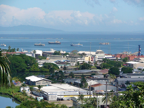
This week’s post in the global weather and climate series features Suva, Fiji.
Last week we took a look at the weather and climate on the Galápagos Islands, in the east central Pacific Ocean. Today we’ll contrast that with the weather and climate of Fiji, in the south west Pacific Ocean.
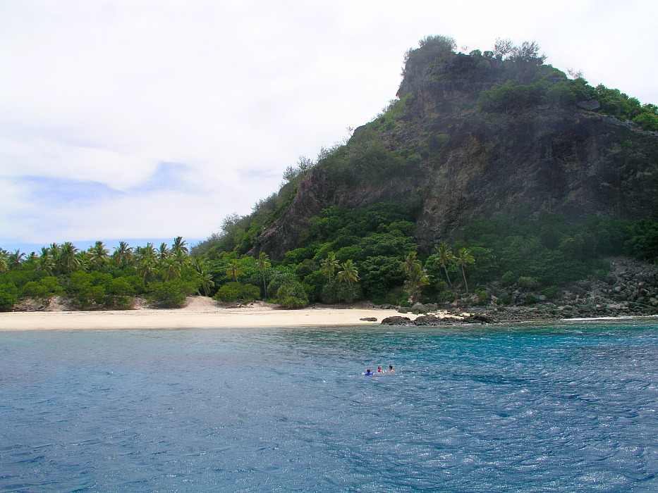
The Republic of the Fiji Islands are an archipelago of over 332 islands and over 500 islets, amounting to over 7000 mi² of land. Fiji’s population is 849,000, but 87% of the people live on the two largest islands, Viti Levu and Vanua Levu. Fiji is located about 1200 miles northeast of New Zealand’s North Island. The islands are mountainous, with peaks over 4000 feet. Dependent on tourism and sugar exports, Fiji is also a producer of timber, fish, gold, copper, and oil.
Suva is the capital of Fiji, found on the island of Viti Levu. Also the largest city in Fiji and in the South Pacific, Suva is home to nearly 86,000 people (over 172,000 in the metro). Suva is situated on a peninsula and has mountains to the north and west, allowing the southeast trade winds to produce rain year round.
A few more facts about Suva (courtesy of Wikipedia):
- Time zone: Fiji Standard Time (UTC+12)
- Elevation: 0 to 25 ft above mean sea level
- Climate zone: Tropical rainforest
- Average high temperature: 84 °F (29 °C)
- Average low temperature: 68 °F (20 °C)
- Record high temperature: 99 °F (37 °C)
- Record low temperature: 55 °F (13 °C)
- Average annual precipitation: 117 inches (2,980 mm)
Like Puerto Ayora in the Galápagos Islands, temperature only varies by a few degrees throughout the year in Suva. The average high in Suva is only a few degrees above the average high in Puerto Ayora, and the average lows of both cities are the same.
Also like Puerto Ayora, Suva tends to be warmer and wetter from December to May and cooler and drier from June to November.
However, unlike Puerto Ayora, Suva receives copious rainfall; in fact, Suva receives about 13 times as much rain as Puerto Ayora!
Both cities are located on the coast of an island in the tropical Pacific (Suva is at about 18°S, while Puerto Ayora is nearly on the equator), but the big difference comes in the location of each island.
The western Pacific receives more rain than the eastern Pacific for numerous reasons, including more hurricanes in the western Pacific and prevailing wind direction. Easterly trade winds push warm water (and warm, moist air) towards the west, while cold water wells up from beneath the surface (to replace the surface water that’s been pushed west) on the west tropical coast of South America. Water temperature greatly affects air temperature in the tropics, so temperatures will tend to be a little cooler (and air drier) on the eastern edge of an ocean basin and vice versa on the western edge. As mentioned above, Suva is also moist because it is on the southeast coast with mountains to the north and west, so the southeast trade winds bring moisture right into the area. The northwest coasts of Fiji islands are much drier.
Current weather: Rain showers, with highs in the mid-80s and lows near 70 °F.
For more information on Suva, here’s a link to Wikipedia. For more information on Fiji, here’s another link to Wikipedia.
For weather maps and information on current and forecast Fiji weather, see the Fiji Meteorological Service (check out their hand-drawn weather maps), WeatherZone (Australian weather site with weather info for all over the world) and Weather Online UK (collection of maps and weather information for all over the world).
Next Tuesday we’ll look at the weather in Antarctica. As always, if you have any comments or suggestions for future cities, please leave a comment on this post!

