02.03.11
Major Winter Storm Part 3: Snow Totals
The big snowstorm of the last few days is pretty much over for the U.S. and Canada. The highest storm total report I heard was 26.5 inches of snow just west of Racine, Wisconsin.
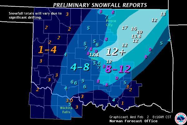
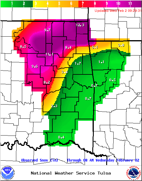
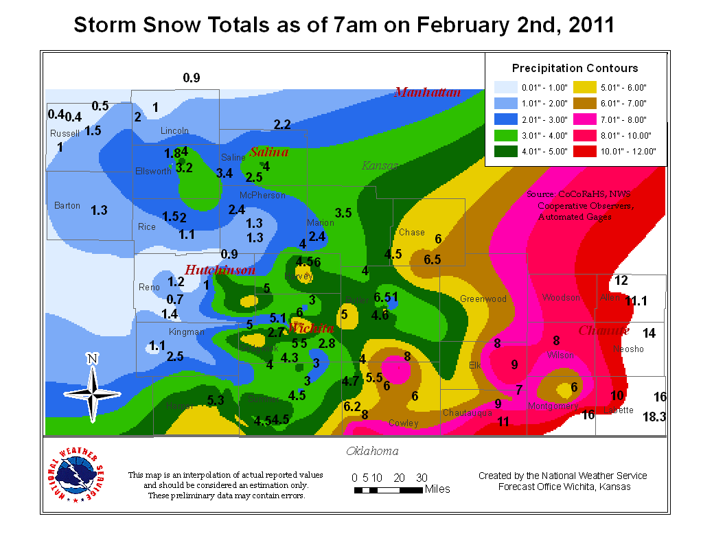
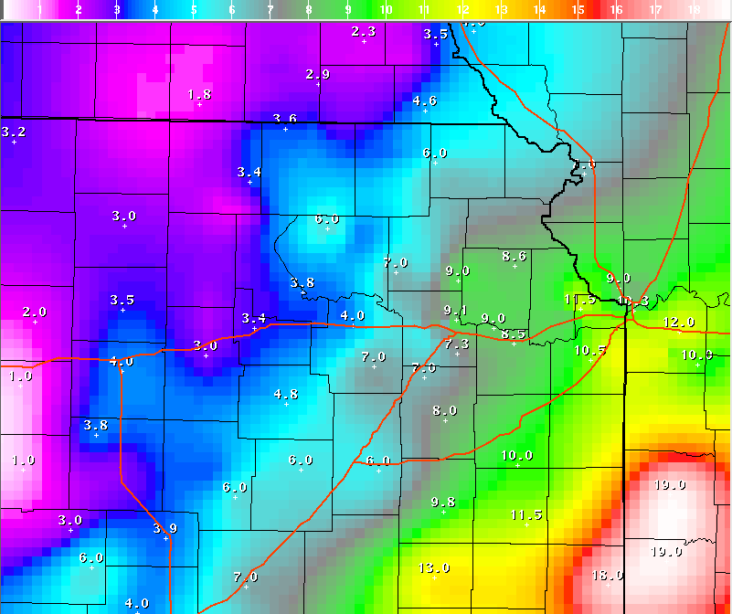
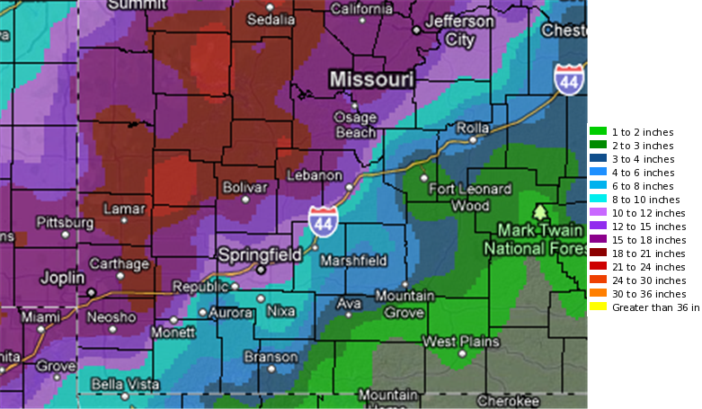
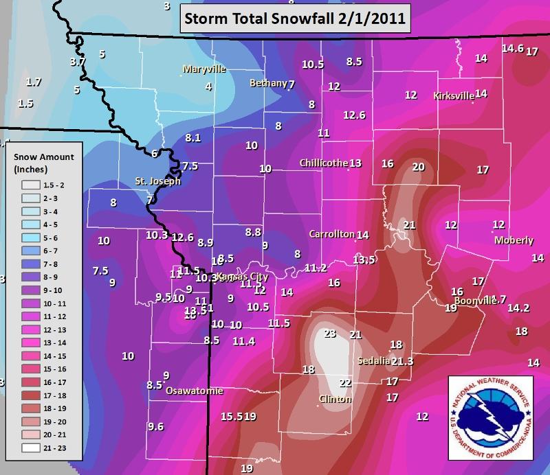
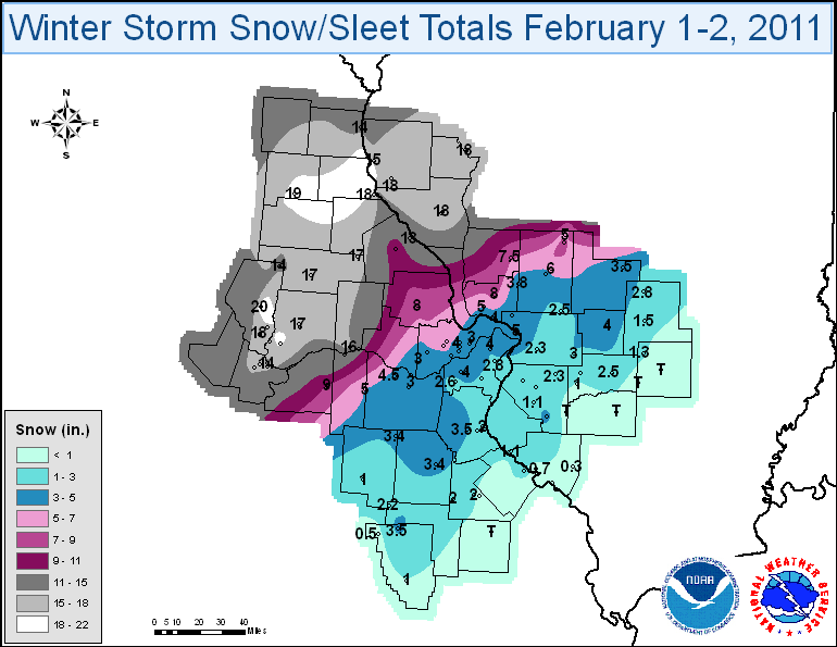
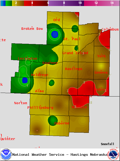
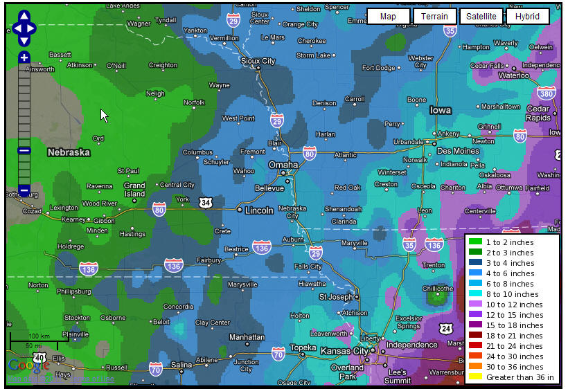
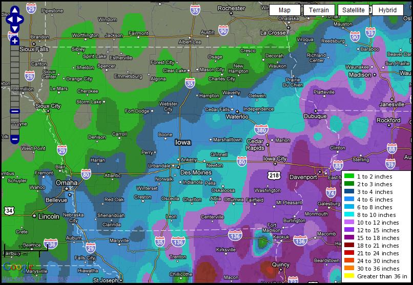
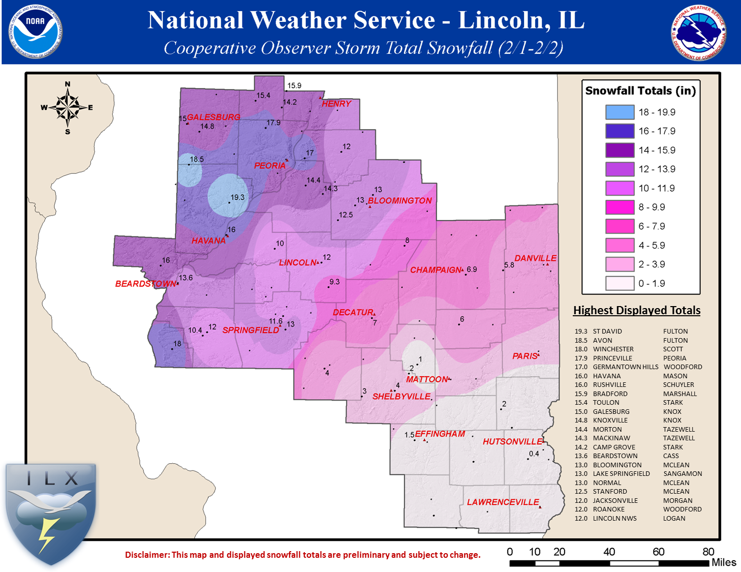
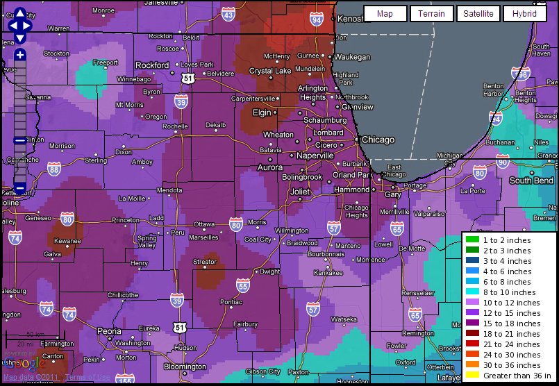
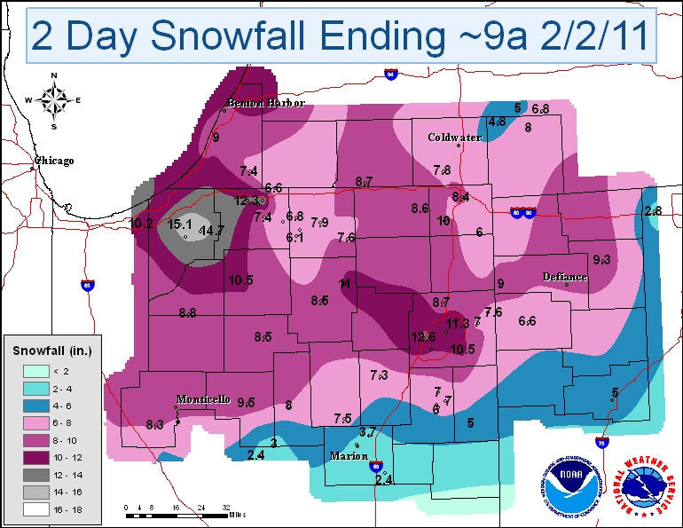
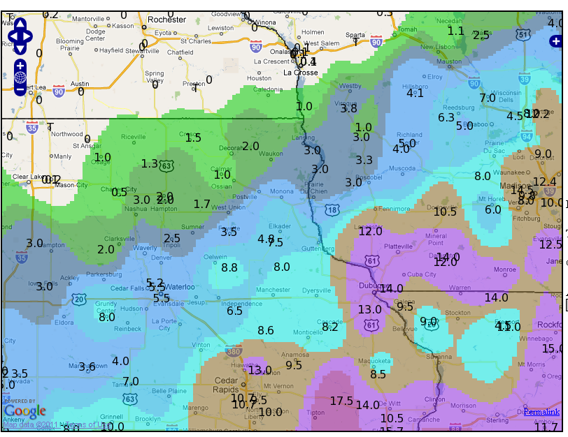
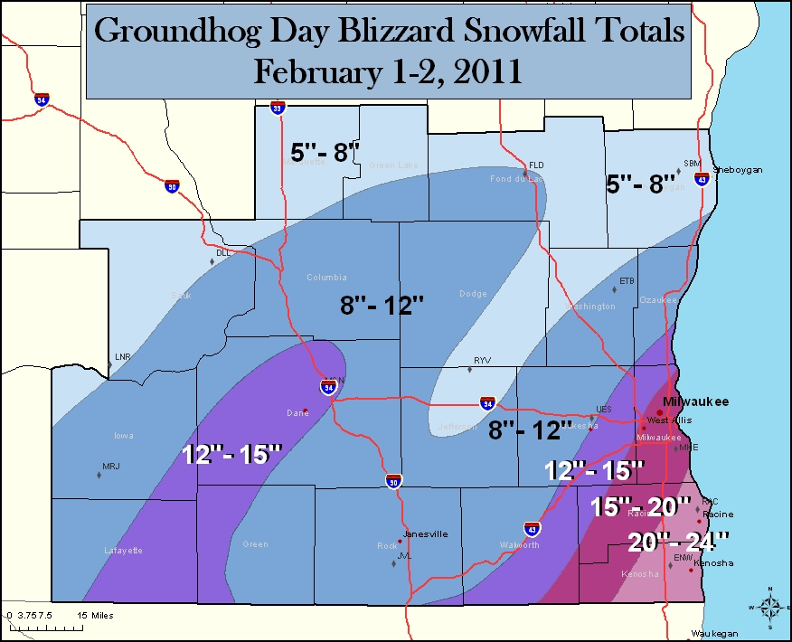
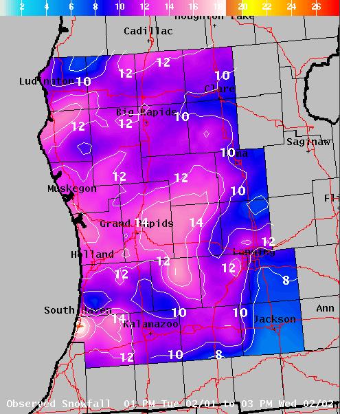
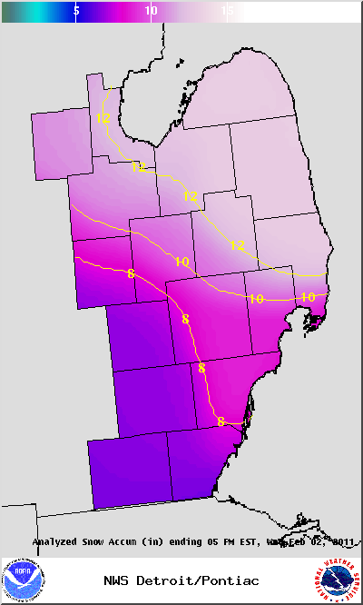
Following is a graphical summary of snow reports from the storm. Many of the NWS forecast offices have more information about the storm in their area; click on the desired link to get to that forecast office’s web page.
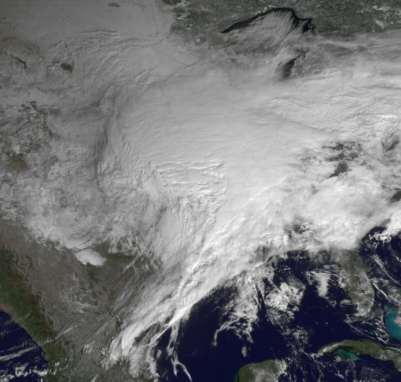
Note: all of these images may be enlarged by clicking on them, including the above image from NOAA, showing the storm on the 1st.
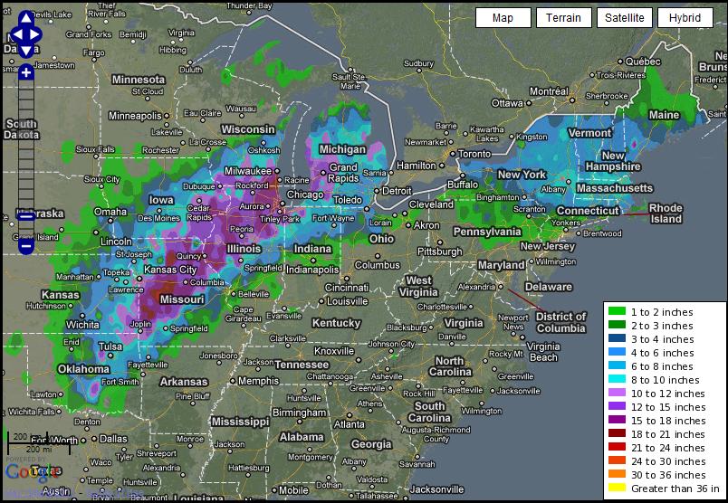
National, 24-hr snowfall ending 8 am Central Time on Feb. 2nd, from the NWS Experimental Snowfall Analysis (some of the below NWS offices just zoomed in on this map for their regional snow maps):
NWS Kansas City/Pleasant Hill, Missouri:
NWS St. Louis, Missouri:
NWS Sioux Falls, South Dakota:
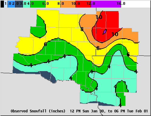
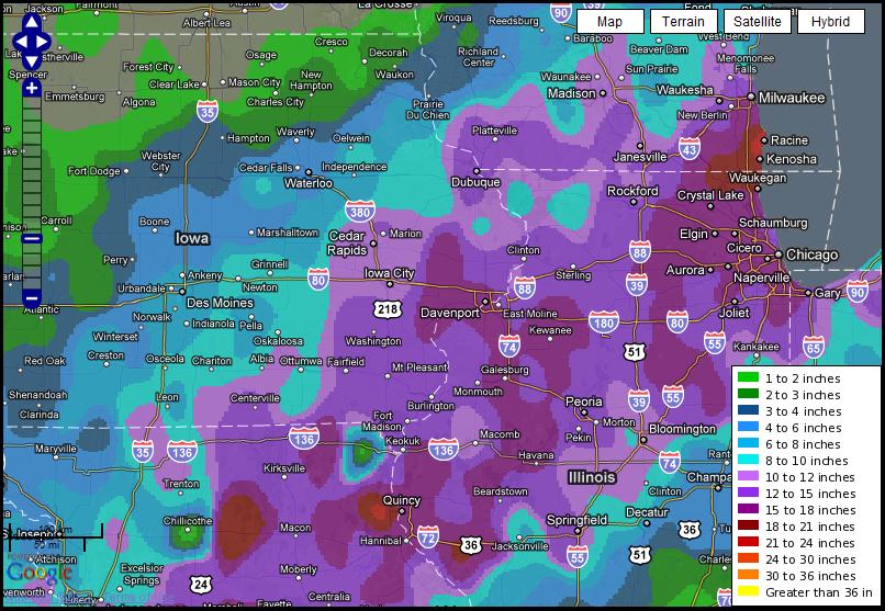
NWS Quad Cities, Iowa/Illinois:
NWS Grand Rapids, Michigan (this write-up opens as a PDF):
To see a text list of snow totals across the U.S., see the Hydrometeorological Prediction Center’s Storm Summary.
