02.22.11
World Wide Weather #31: Manaus, Brazil
This week’s post in the global weather and climate series features Manaus, Amazonas, Brazil.
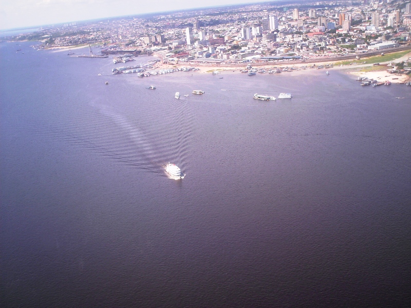
Aerial view of Manaus, looking over the Rio Negro. From Wikipedia
Manaus is a city of over 1.7 million people (over 2 million in the metro), lying at the confluence of the Negro and Amazon rivers. The capital of the Brazilian state of Amazonas, Manaus is located in the heart of the Amazon Rainforest and is a popular ecotourist destination. Manaus makes up 50% of the population of the Amazon.
Manaus was founded as a fort in 1669, to help establish the Portuguese claim on the area. In the late 19th century, Manaus was at the center of the rubber boom of the Amazon. Current exports include timber and Brazil nuts, while petroleum refining, soap manufacturing, shipbuilding, chemical industries, and tourism are also a part of the economy.
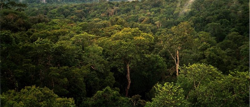
Amazon Rainforest, on the north side of Manaus. From Wikipedia
A few more facts about Manaus (from Wikipedia):
- Time zone: Atlantic Standard Time (UTC-4)
- Average elevation: 302 ft (92 m)
- Climate zone: Tropical rainforest
- Average high temperature: 86 °F (30 °C)
- Average low temperature: 73 °F (23 °C)
- Average annual high/low temperature range: 86 to 90 °F (30 to 32 °C) / 73 to 75 °F (23 to 24 °C)
- Record high temperature: 99 °F (37 °C)
- Record low temperature: 55 °F (13 °C)
- Average annual precipitation: 66 inches (1,670 mm)
Weather: As Manaus is situated at just 3 °S and in the middle of a rainforest, the climate is pretty steady year-round. As you can see by the climate stats above, the temperature really doesn’t range outside of the low to mid-70s at night to the upper 80s during the day. Makes for an easy forecast! There is a distinct rainy season, though; the wettest months are December through May.
This week the forecast is calling for…you guessed it, lows around 73 °F and highs around 84 °F, with a chance of rain every day.
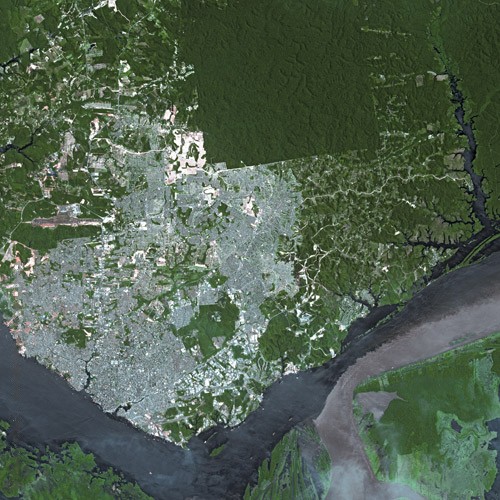
Satellite view of Manaus, showing the Rio Negro (left) flowing into the Amazon River (going off to the right). From Wikipedia
For weather maps and information on current and forecast Manaus weather, see Weather Underground and Weather Online UK (maps and models).
For more information on Manaus, here’s a link to Wikipedia.
Next Tuesday I plan to take a look at the climate and weather in another part of the globe. As always, if you have any suggestions for future cities, please leave a comment!


