03.14.11
Meteorology 101: Radar
Last week I described how upper-air observations are made with radiosondes. This week we’re going to start looking at remote sensing observing systems, beginning with radar.
Radar
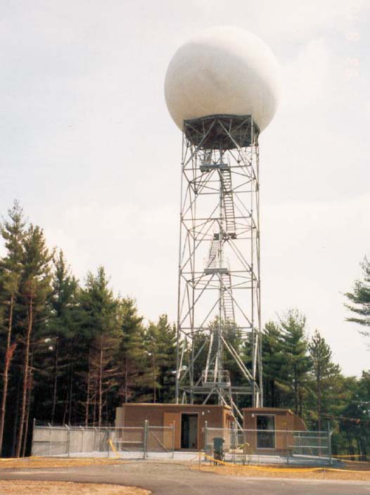
(Photo from the National Weather Service in Seattle)
Radar stands for radio detection and ranging. A radar system emits high power radio waves, some of which bounce off objects (e.g., raindrops and snowflakes) and return to the radar. The round-trip time of the energy pulse is used to calculate the distance of an object from the radar.
The current generation of weather radars in use by the National Weather Service is the WSR-88D, standing for Weather Surveillance Radar, 1988 Doppler. These radars, as you can probably guess, were established in the ’80s and are Doppler radars.
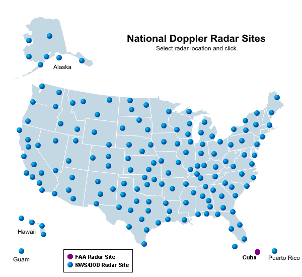
The following map shows the locations of the National Weather Service radars.
Doppler Radar
Consider a passing train, blowing its whistle. As the train moves away from you, the pitch of the whistle drops. The same goes for emergency vehicles; sirens will sound higher pitched as the vehicle is coming towards you, and lower pitched as the vehicle is going away from you.
This shift in frequency is known as the Doppler shift, and we can apply this principle to radars, in order to determine the wind speed and direction across the radar domain (e.g., useful in determining when a tornado may be present, where we have rotating winds).
Other Radars
There are numerous other types of radars used to observe precipitation and wind as well, such as dual-pol and phased-array radars and wind profilers.
A wind profiler is a type of radar or sodar (uses radio or sound waves) that points up and gives frequent updates on wind speed and direction over a certain location. This is helpful as we only have soundings go up twice a day, and sometimes we may want to know what the winds are doing in-between soundings. Most wind profilers are located in the central U.S.
————————————————–
Next Monday we will talk about weather satellites.

