04.09.11
Chase #2 Review
Yesterday I went chasing in north central Oklahoma, and got on a cell just as it began to form, south of Enid. We followed this developing supercell for a little while, before heading off to chase the more beautiful-looking storm to our northeast, in Kay County. We figured it may have been closer to a boundary that might allow for better rotation and a more sustainable updraft.
To make a long story short, we got closer to the Kay County storm before calling it off to head south, as our first storm had begun to show signs of tightening rotation. This could have been a mistake, but the northern storm wasn’t looking any better, and both storms looked pretty ugly on radar.
Shortly after making the decision to go south and meet up with the approaching southern storm, the northern storm was tornado-warned. Of course! Someone reported a tornado up there, but it was too late for us. A funnel cloud had been reported anyway with the southern storm.
The southern storm was starting to cross I-35, and with the bad road networks east of the freeway, we decided to try to keep well out ahead of the storm, which cost us the chance to see any of the large hail that some chasers witnessed, or any rotating wall clouds from up close.
There are a few things we could have done differently, but it was a tough day in terms of first deciding a target area, and then deciding a storm, and then deciding the best roads in not-very-good chase territory (east of I-35, anyway).
I still had fun, though, and remind myself it’s early season. We saw two supercells (updraft bases but missed the wall clouds, boo), beautiful convection (I’d been missing that!), lots of mammatus, lightning (cloud-to-ground, anvil, and other intracloud lightning) and thunder, and some much needed rain. We didn’t even have to leave the state!
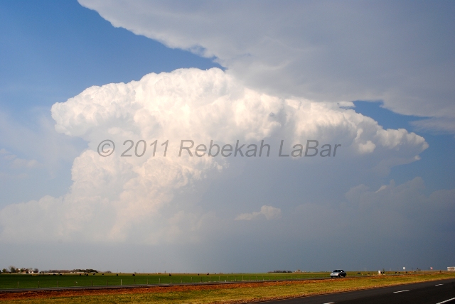
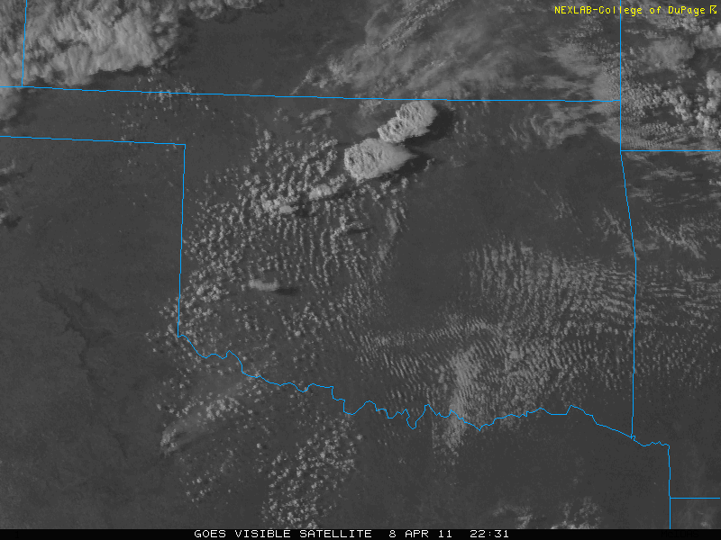
I didn’t take a lot of photos this day, but here’s one of the Kay County (northern storm) as it was going off (you can see the edge of the southern storm’s anvil at the top), followed by a visible satellite image showing the two storms at this time:

