12.09.12
Upper Midwest Blizzard
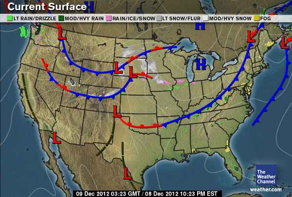
South central North Dakota, northeastern South Dakota, and west central Minnesota are under blizzard warnings today and tonight as a low-pressure system and trailing cold front bring some bitter cold Canadian air and gusty winds to the region.
Big picture from The Weather Channel
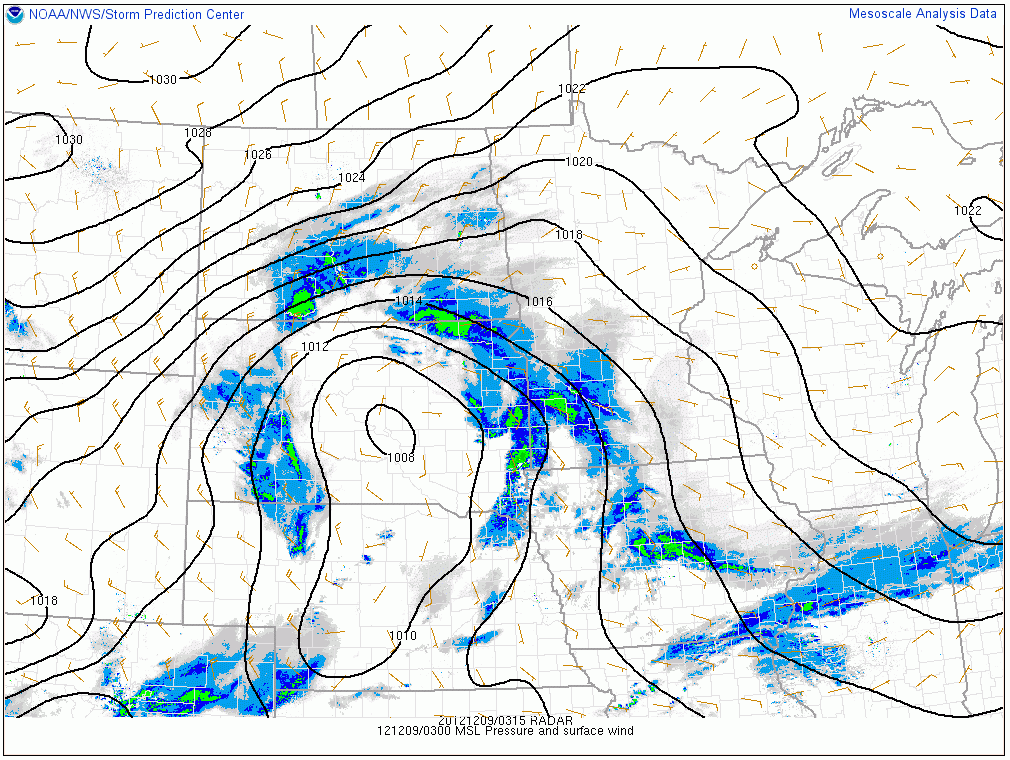
Radar image (0315Z, or 9:15pm Saturday, Central Time) showing snow falling over parts of the Northern Plains, overlaid with surface pressure and winds. Courtesy of the Storm Prediction Center. Click to enlarge.
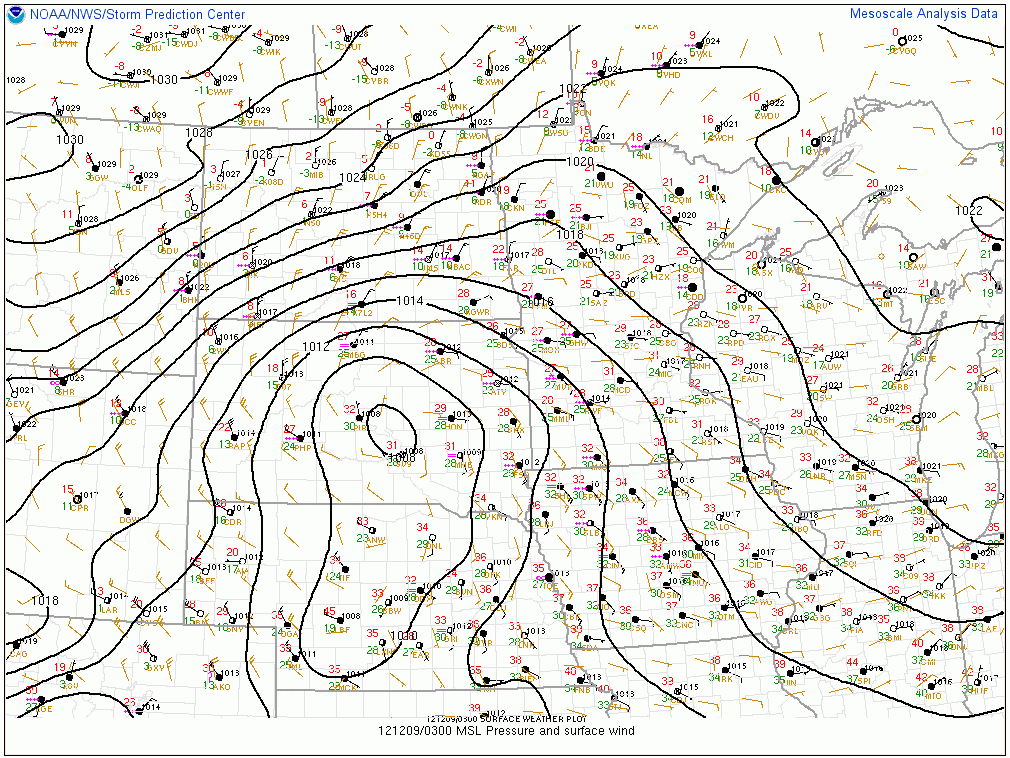
Surface observations (0300Z, or 9pm Saturday, Central Time), overlaid with surface pressure and winds. Courtesy of the Storm Prediction Center. Click to enlarge. The red numbers are the temperature in degrees Fahrenheit; note some near-zero temperatures in North Dakota (and sub-zero at the Canadian border) coming down behind the front! Wind barbs show the direction from which the wind is blowing.
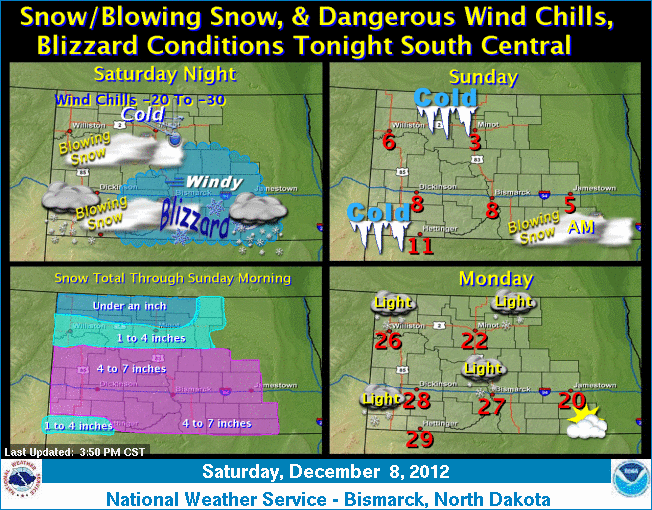
Here is the “weather story” from the NWS Bismarck office:
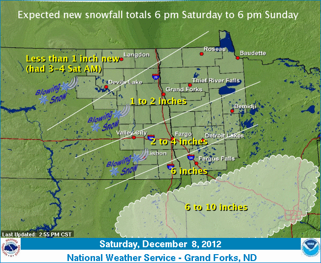
And from the NWS Grand Forks office:
Temperatures in south central Canada, where a lot of the Plains’ cold air masses develop, are already quite a bit colder than they were at this time last year, which is a good sign if you like wintry weather.
