12.11.10
Midwest Blizzard
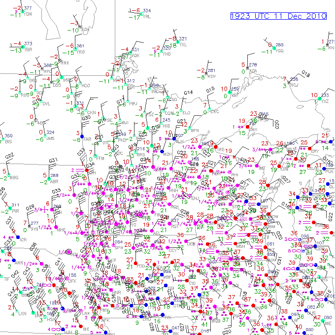
Here’s the latest map of surface observations in the Midwest (click to enlarge), from UCAR.
For those of you who don’t know what you’re looking at, the big dots mark weather station locations, the lines going into the dots show wind direction (while the lines coming off those lines show wind speed), the red numbers are temperature, the green numbers are dewpoint, and the symbols show the weather type (e.g., snow in asterisks, rain in dots).
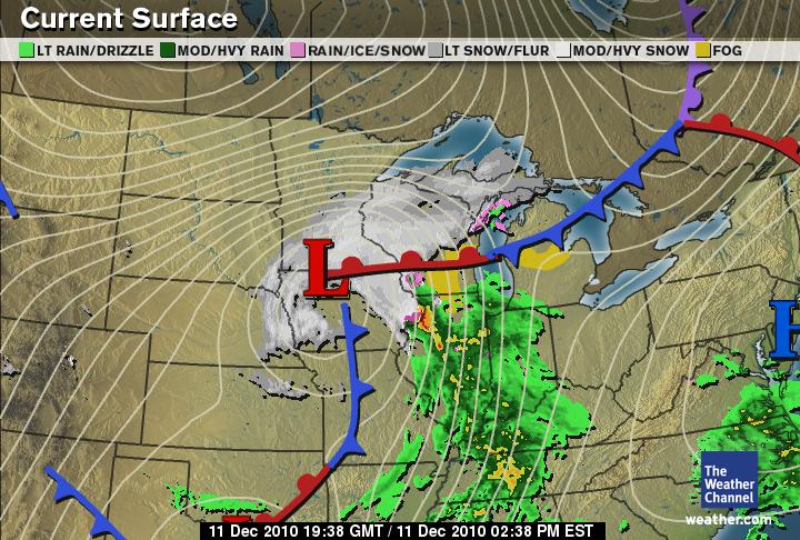
Note how the winds are swirling counter-clockwise around northern Iowa. This marks the location of the surface low. Note also how there is a lot of snow falling in northern Iowa and southern Minnesota!
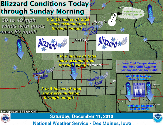
A blizzard is defined as blowing snow (doesn’t have to be falling) with winds of at least 35 mph and visibility of less than 1/4 mile for at least 3 hours. The strongest winds around a low-pressure system are typically on the northwest side, hence why the worst of this blizzard may actually be once the low has moved farther east.


