04.15.11
Posted in Severe Weather Post-analysis at 8:00 am by Rebekah
Oh, where to begin.
Yesterday’s chase turned out a lot crazier than I had anticipated. Be prepared, this account is on the long side. 🙂
I’ll be reposting these chase logs on my website soon, once I get a big enough block of time. I’ll also post some more photos then and brief summaries of the chase setups, but this blog post (and photos) pretty much goes over all the best stuff anyway!
——————————
Jeff Makowski, Esther White, Amy Edmonds, and I left Norman just before 1:30 pm. The dryline stalled just east of I-35, and with some upper-level forcing, moderate instability, and a lack of a cap, we figured storms would form pretty much all along the dryline. In fact, I worried that the storms might line out too fast. Shear was great in the warm sector, and we figured that pretty much any storm that did form could become a supercell with the potential to produce a tornado.
With that in mind, we figured we would have just as good a chance to see supercells north of I-40 as south of I-40. Much of the area south of I-40 and east of I-35 is about the worst chase country, between trees, hills, lakes, rivers, and a bad road network. I decided to pick the area just north of I-40, but early on to split the difference and drive out east towards Shawnee.
Now, on the last couple of chases, I noticed one of the cigarette lighters in my car isn’t working. I just got the fuses replaced in both of them last year, but thought perhaps another fuse had blown. Also, the other cigarette lighter seemed to be on the blink, as my computer wasn’t charging. As we seemed to have a bit of time to spare, despite cumulus beginning to grow around us, we made a quick stop at Wal-mart in Shawnee.
After getting fuses and replacing them in my car, I found the one cigarette lighter was still not working. Oh well, guess I’ll have to get that checked out at some point. Anyway, back on the road, we made another brief stop at Braum’s in Seminole.
As we ate our ice cream, we saw a very nice tower go up just to our west, and it popped up on radar along with a number of other cells to the north. We immediately set off after the storm, as we knew that if we didn’t get on the storms early, they might line out too fast.
We had some concern as we followed the storm, as there was another little cell to the south that began to interfere, but eventually our storm absorbed the little storm. We stopped on a gravel road somewhere just northeast of Prague (Oklahoma, that is, not the Czech Republic!), to watch the storm get its act together. We heard a nearly constant rumble of thunder as we watched some lightning to our north. There was also a huge flock of swallows (ssooo many birds) flying around us, near a creek, which was fun.

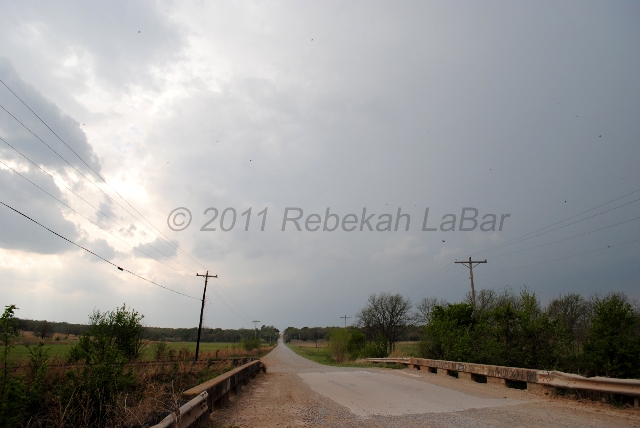
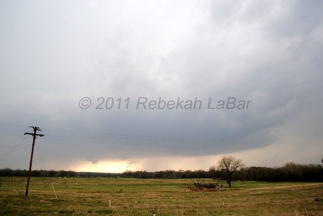
I ran down the road as some trees were obscuring our view of the updraft base, and noticed a slowly-rotating, ragged wall cloud. We drove north a bit, to about a couple miles southeast of Stroud.
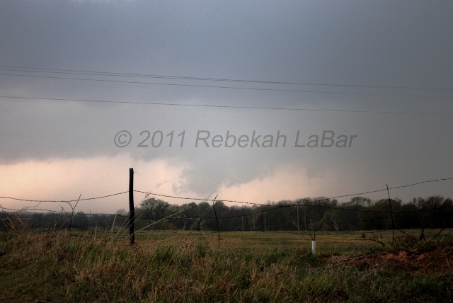
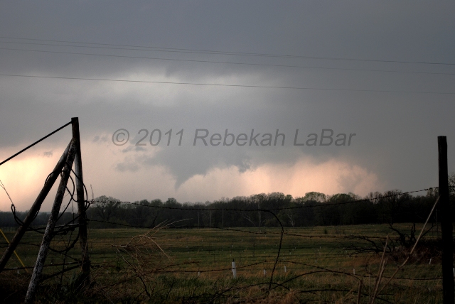
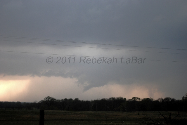
Once again, a cell to the south began to interfere with our supercell, and I began to lose hope. After another wall cloud formed and dissipated, we were about to just head south again and aim for the next cell down the line. However, just as we started to get back in the car, we saw another wall cloud form and then a funnel cloud started to come down.

Then, 10 minutes later…

We saw this funnel cloud go down over halfway, but the base was obscured due to some trees on the horizon, so we were not sure at first if it was a tornado. After a minute the funnel lifted above the treeline, stretched out horizontally, and then disintegrated. I didn’t even have time to get any video, and my few photos didn’t turn out very well.


The supercell at this point was tornado-warned, and things were getting chaotic. Shortly after this, we heard some people closer to Stroud reported our funnel as a tornado, and we later saw photographic and video evidence that it did indeed touch down (supposedly it damaged a restaurant sign as well). The tornado was probably about 4 to 5 miles to our northwest, and we saw it at 4:42 pm. Here is a link to a closer photo of the Stroud tornado, taken by storm chaser Putnam Reiter.
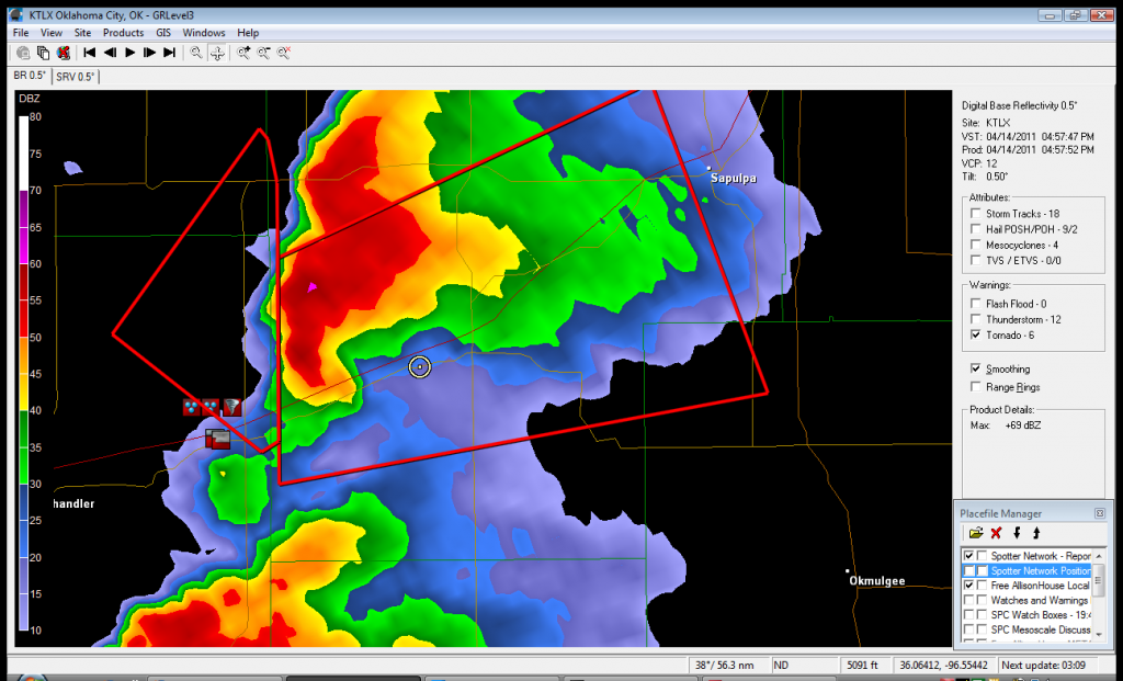
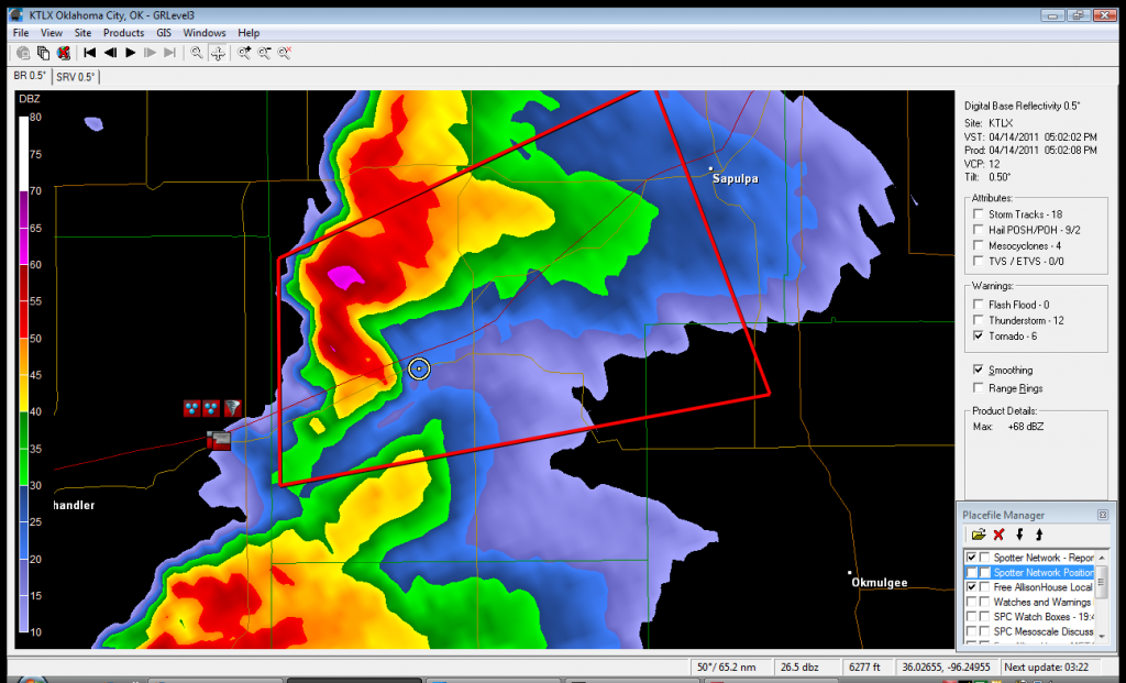
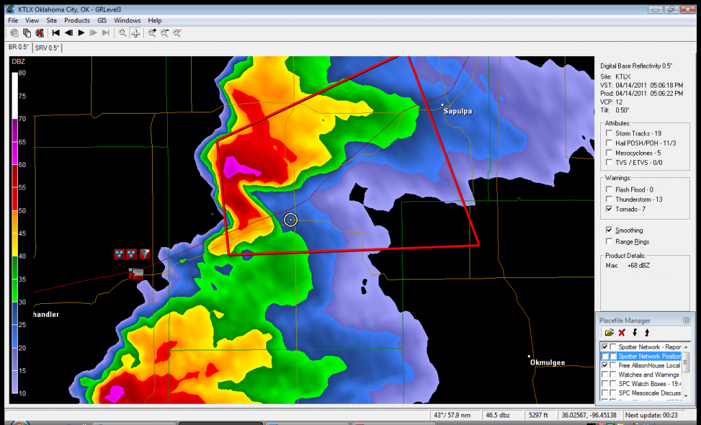
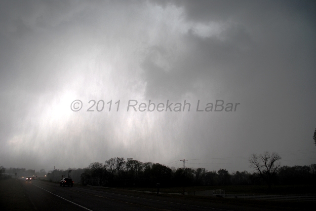
The storm looked like it was still growing and continuing to cycle, so we pressed on northeastward, driving mostly on Route 66. About 20 minutes after the tornado, when we arrived in Bristow (about 20-30 miles southwest of Tulsa), we had a harrowing experience with rapidly rotating rain curtains.
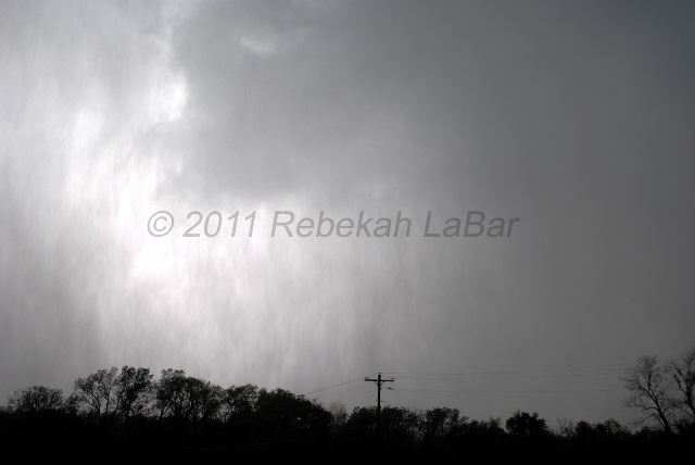
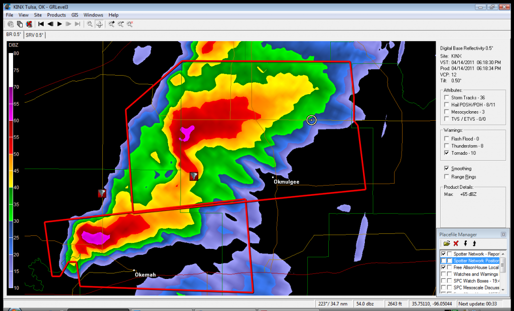
The supercell’s hook began to wrap up almost around us, and we suddenly got blasted with a wall of rain and looked up to see the sky rotating. It was such a surreal experience, as I have seen rotating curtains of rain before, but never so fast and so close. I was almost too mesmerized to worry about our proximity to where a tornado could touch down.
The screen captures below show the radar image (from GRLevel3) and our location (white circle). The red boxes are tornado warnings, and the small hail, wall cloud, and tornado icons are reports from chasers and spotters via SpotterNetwork.


The hook of the storm was chasing us at this point, but as it slid just north of us, we briefly stopped for a few photos. Obviously photos cannot do justice to the beauty of the rotating rain curtains (especially since the contrast didn’t come out very good), but my short video didn’t turn out too well either (everything was happening so fast, getting good photos and video wasn’t the first thing on my mind!).


We gave up on the supercell as it neared Sapulpa, as we did not want to chase anything into the Tulsa metro. There was another decent-looking tornado-warned supercell just to our south, though, so we drove down on some more gravel roads and eventually saw another wall cloud on that supercell.
Here is a GRLevel3 screen capture of that storm and our location, at 6:22 pm:

Of course, then the tornado-warned supercell south of this one started to look better to us, especially as we wouldn’t have to fight with more rain-wrapped wall clouds and potential tornadoes.
However, almost no sooner did we drop south of Okmulgee than the southern storm weakened and the tornado warning was lifted. We figured that at this point our chase was about over, as there were multiple tornado-warned storms south of us, but they were well south of I-40 and in bad chase country. We later sadly learned that one of these supercells produced a large, deadly, and damaging tornado that affected Tushka, near Atoka, in southeast Oklahoma.
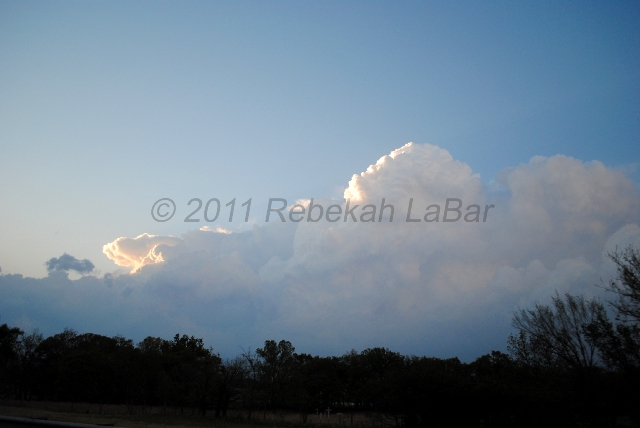
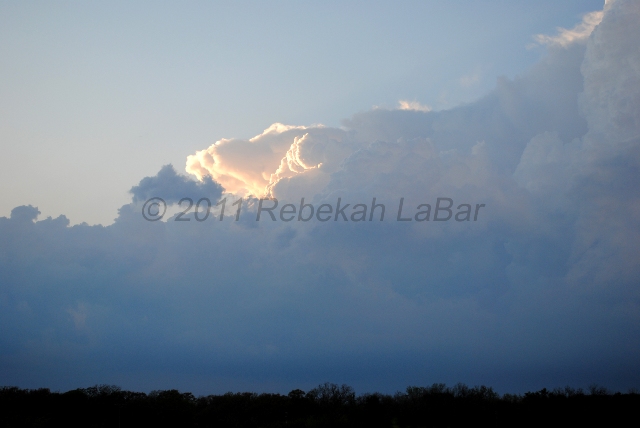
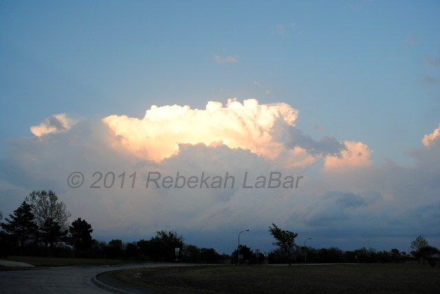
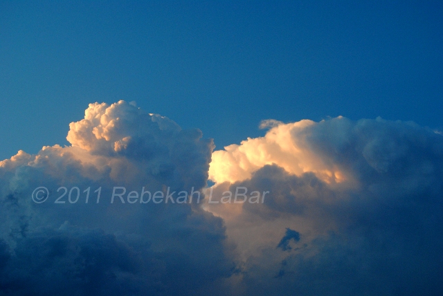
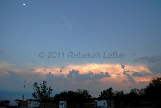
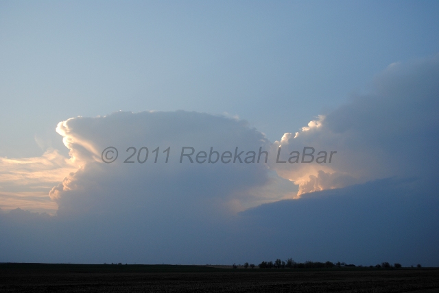
On our drive back to Norman on I-40, we saw the setting sun light up the anvil and mammatus of one of the supercells to our south and the towering convection of a couple other storms to our north and east.
I took a lot of photos, and I may have some better ones to post on the website later, but here are a few I grabbed for now. I’m a bit of a sucker for convection, so I went a little crazy taking pictures and had a hard enough time narrowing it down to these. 🙂


We had a great day, and were back in Norman around 9 pm!
Thanks for reading, and thanks for following my adventures!
The next chase opportunity for me may be as soon as early to middle of next week, perhaps in south central Oklahoma to north central Texas, but it’s still too far out to tell just if, when, and where.
Permalink
04.10.11
Posted in Severe Weather Post-analysis at 8:00 am by Rebekah

Storms in Kiowa County, Kansas, near sunset
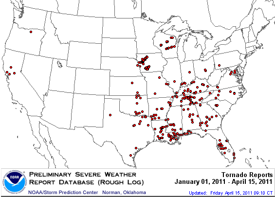
I didn’t want to go all the way up to Iowa yesterday (check out the tornado reports), but there was a marginal chance for storms along the dryline from west central Kansas through northwest Oklahoma.
Jeff Makowski and I drove up to northwest Oklahoma early yesterday afternoon, and sat for a while in a large parking area at the intersection of US highways 281 and 412 (east of Woodward, north of Seiling, southwest of Alva).
We hung out there for some two and a half hours or more, watching cumulus along the dryline attempt to bubble up, only to get mixed out and dissipate. The surface dewpoints started in the low 60s, but mostly mixed out to the upper 50s by later in the day. It was also pretty windy, and a lot of dust got kicked up around us.
Close to 6 pm, we decided to go north on 281 up to Alva, to find some food and air conditioning. Almost no sooner did we start to go north than we saw a cumulus cloud start to grow outward as well as upward, corresponding with the first blip of the day (for the area) on radar.
We picked some gravel roads to drive on for a while, as shortcuts to the Kansas border, in an effort to intercept the growing storm. This little shower dissipated fairly quickly, but a few more tried to get going there as well. We saw a coyote run across the road somewhere around the border.
Another random note from about this time is we heard a radio station that was playing Alvin and the Chipmunks’ “Christmas Don’t Be Late”. Astonished to hear Christmas music on the radio in early April, we continued to listen long enough to hear the DJ come on and declare how he loved Christmas, and would start to play Christmas blues music (which he did, and then we changed the channel).
By the time we crossed over into Kansas, a couple of elevated thunderstorms had moved just north of Coldwater. The photo above was taken between Medicine Lodge and Pratt, as we were driving north on US Highway 281. The main storm is on the right side of the photo, with the southern storm in the middle. This photo did not do the scene justice, as the sun very nicely lit up this convection just before setting.
We started to see lightning about this time; we saw quite a bit of intracloud and anvil lightning, with a few cloud-to-ground strikes.
These two storms pretty much combined after this, and raced away to the northeast. When we arrived at Highway 50, near St. John, we headed east to go back to I35. As we drove along on 50, we saw quite a bit more lightning as it started to get dark. The storm didn’t last too much longer after sunset, though.
All in all, the day went about as expected, although I didn’t expect to end up so far north in Kansas (I didn’t think I’d go north of Wichita, or even Wellington)! Despite traveling farther than I’d hoped, it was still a good day in that we saw a couple of decent thunderstorms (the main one may have briefly been a supercell, but we never confirmed if it was rotating or not) and some more mammatus and lightning.
I won’t be chasing today, as the southern target is too far east for me, but I am looking forward to the next chase opportunity for the Southern Plains, which hopefully could be sometime later this week!
Permalink
04.09.11
Posted in Severe Weather Post-analysis at 8:00 am by Rebekah
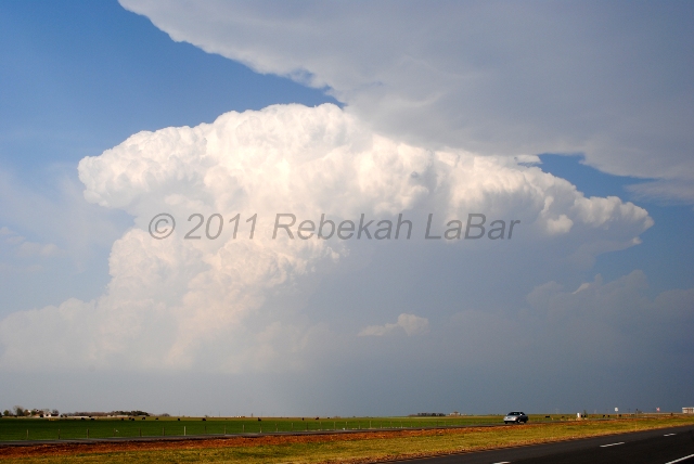
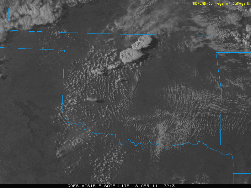
Yesterday I went chasing in north central Oklahoma, and got on a cell just as it began to form, south of Enid. We followed this developing supercell for a little while, before heading off to chase the more beautiful-looking storm to our northeast, in Kay County. We figured it may have been closer to a boundary that might allow for better rotation and a more sustainable updraft.
To make a long story short, we got closer to the Kay County storm before calling it off to head south, as our first storm had begun to show signs of tightening rotation. This could have been a mistake, but the northern storm wasn’t looking any better, and both storms looked pretty ugly on radar.
Shortly after making the decision to go south and meet up with the approaching southern storm, the northern storm was tornado-warned. Of course! Someone reported a tornado up there, but it was too late for us. A funnel cloud had been reported anyway with the southern storm.
The southern storm was starting to cross I-35, and with the bad road networks east of the freeway, we decided to try to keep well out ahead of the storm, which cost us the chance to see any of the large hail that some chasers witnessed, or any rotating wall clouds from up close.
There are a few things we could have done differently, but it was a tough day in terms of first deciding a target area, and then deciding a storm, and then deciding the best roads in not-very-good chase territory (east of I-35, anyway).
I still had fun, though, and remind myself it’s early season. We saw two supercells (updraft bases but missed the wall clouds, boo), beautiful convection (I’d been missing that!), lots of mammatus, lightning (cloud-to-ground, anvil, and other intracloud lightning) and thunder, and some much needed rain. We didn’t even have to leave the state!
I didn’t take a lot of photos this day, but here’s one of the Kay County (northern storm) as it was going off (you can see the edge of the southern storm’s anvil at the top), followed by a visible satellite image showing the two storms at this time:


Permalink
