03.18.11
Posted in Weather - Miscellaneous at 8:00 am by Rebekah
My specific research topic in meteorology is storm electrification and lightning. Lightning both fascinates and scares me. So when I was checking out The Weather Channel’s web page last night, a certain article caught my eye: “Lightning-Prone States“.
I knew that Florida was the lightning capital of the U.S., but what other states are on the list?
Here are the top five lightning-prone states, based on the average annual number (from 1996 – 2008) of cloud-to-ground lightning flashes per square mile.
- Florida – 25.3 strikes per square mile
- Louisiana – 20.3 strikes per square mile
- Mississippi – 18.0 strikes per square mile
- Alabama – 15.9 strikes per square mile
- South Carolina / Oklahoma – 14.6 strikes per square mile
There are really no surprises there; they’re all in the Southeast, with the exception of Oklahoma, which gets plenty of Southern Plains thunderstorm action in Tornado Alley.
What about the bottom of the lower 48?
My home state of Washington wins that award, with just 0.3 lightning strikes per square mile. (And THAT, folks, is the single biggest reason I decided to go to the University of Oklahoma for graduate school; I wanted to see more frequent, powerful thunderstorms in person.) The article from The Weather Channel also says that Washington gets only 1% to 2% of the number of lightning strikes per year that Florida gets. Furthermore, since 1959, Washington has had the lowest number of fatalities (five) due to lightning.
The other four states in the bottom five are Oregon, Idaho, Nevada, and California.
The U.S. on average see 25 million lightning strikes per year, with a 30-year (1980 – 2009) average of 57 fatalities attributed to lightning each year (tied with tornadoes and second only to flooding). Here’s a National Weather Service page with statistics on the 10-year and 30-year average annual number of weather-related deaths.
Speaking of lightning, it was unseasonably warm here yesterday and later today we’re expecting a cold front that could assist in the development of some thunderstorms (and there could be more early next week). Bring on the rain!
Permalink
03.06.11
Posted in Weather - Miscellaneous at 8:00 am by Rebekah

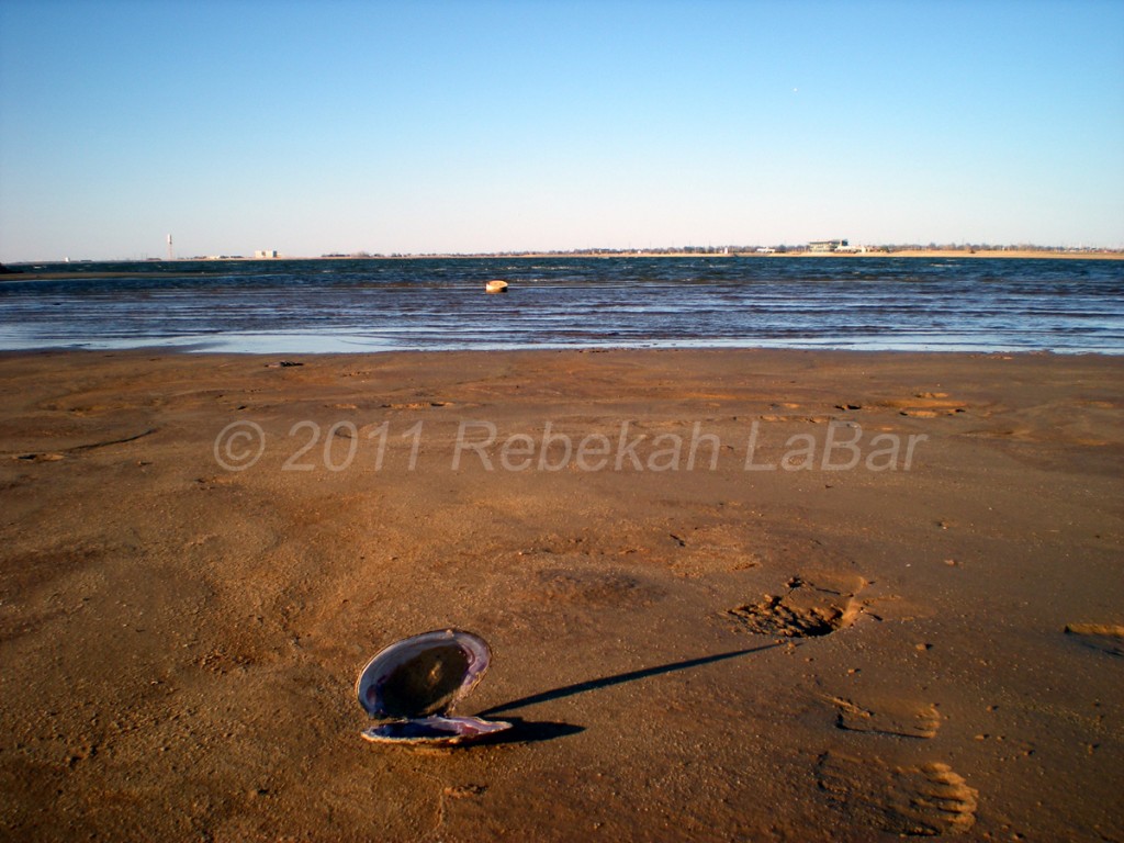
Late yesterday afternoon I went fishing at Lake Hefner, in Oklahoma City. I didn’t stay too long, as there was a fairly cold north wind and I started to get hungry. Next time I’ll remember to eat before I go, or bring food in case I don’t catch anything. 🙂
This brought to mind an article by The Weather Channel, titled “How Weather Affects Fish Activity“. Check this out if you’re into fishing, it has some interesting info on fishing weather!
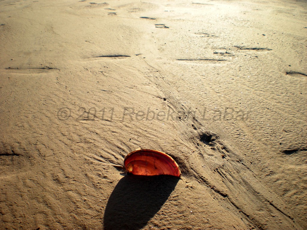
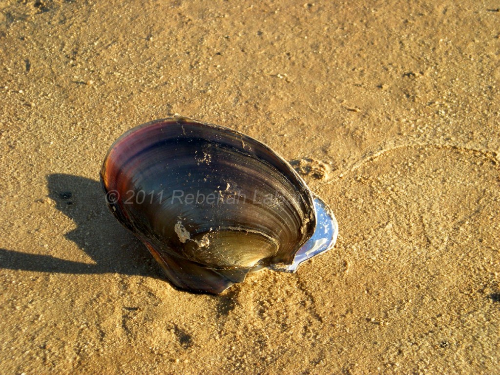
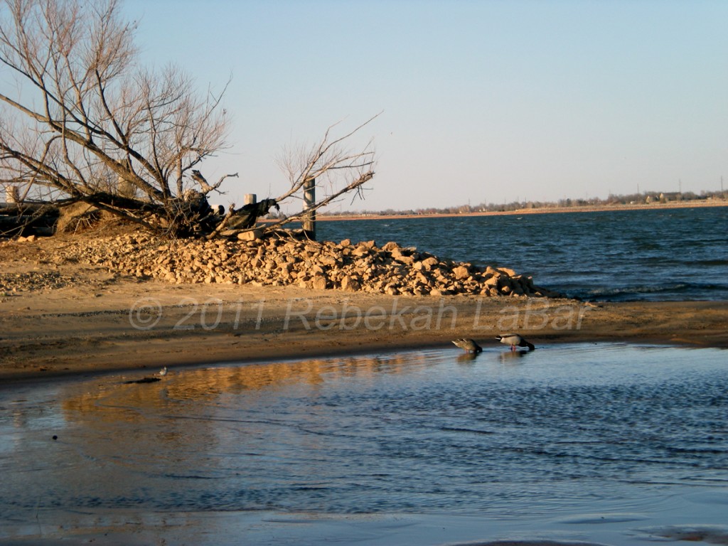
Here are a few other photos I snapped at the lake (last one shows two Mallards and a Sandpiper on the left):


Permalink
03.03.11
Posted in Weather - Miscellaneous at 8:00 am by Rebekah

This beautiful image was taken recently by a NASA MODIS satellite (click to enlarge).
Anyone want to venture a guess as to what we’re looking at (location and/or feature)?
I’ll post the answer in the comments after 8pm Central Time.
Permalink
01.19.11
Posted in Weather - Miscellaneous at 8:00 am by Rebekah
What’s the difference between a watch and a warning?
Watch
- conditions are favorable for the weather event in question (be prepared!)
- typically covers a large geographic area
- typically lasts for several hours (e.g., tornado watches may last 6 hours, but hurricane watches may last 36 hours)
- issued by your local National Weather Service office, except for tornado and severe thunderstorms watches (issued by the Storm Prediction Center in Norman, Oklahoma) and hurricane watches (issued by the National Hurricane Center in Miami, Florida)
Warning
- the weather event in question is already occurring or is likely to occur very soon (take protective measures now!)
- covers a small geographic area (perhaps only a county or two)
- lasts for a shorter period of time (e.g., tornado warnings may last 30 minutes…the exception is a hurricane warning, which means conditions are likely in 24 hours)
- issued by your local National Weather Service office, except for hurricane warnings (issued by the National Hurricane Center)
Permalink
01.16.11
Posted in Weather - Miscellaneous at 8:00 am by Rebekah
Check out one of the blogs on my blogroll: the CIMSS Satellite Blog.
CIMSS stands for Cooperative Institute for Meteorological Satellite Studies, a NOAA organization located at the University of Wisconsin – Madison’s Space Science and Engineering Center.
This blog showcases some cool and educational satellite images (along with some good discussion), including Friday’s image showing cold temperatures in the Yukon (remember that cold air associated with the high in western Canada I recently mentioned?).
Another recent, interesting post showed lake-effect snow bands over Lake Michigan, as well as a mesovortex (you can see the clouds swirling around a mesoscale low).
Check it out!
Permalink


