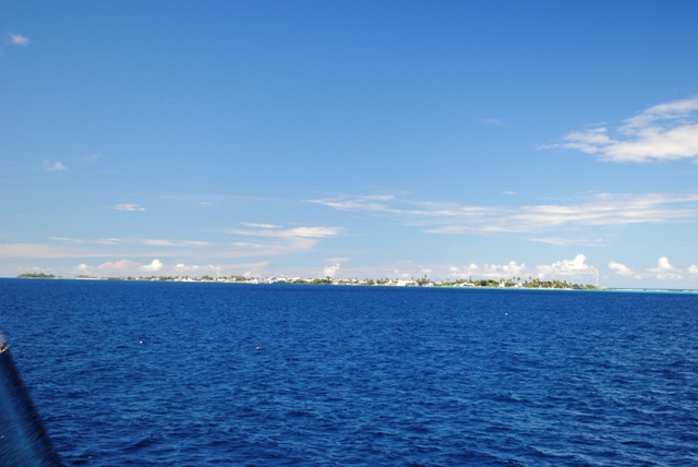
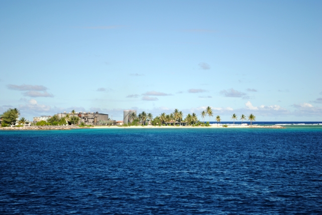
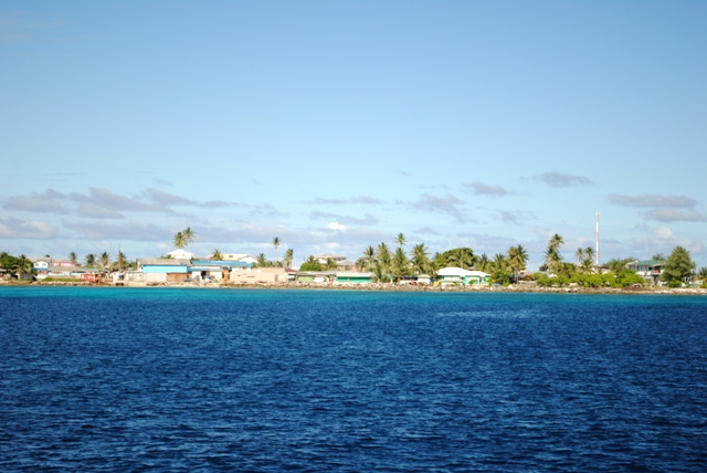
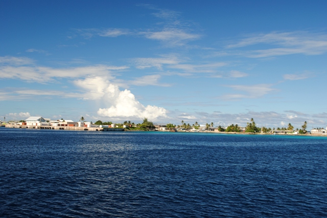
Following is a (mostly) photo guide of what I’ve found on Kwaj, including food, shops, activities, lodging, and more. It is not all-inclusive, but I tried to get the highlights. The photos are ordered more in a categorical order rather than for where they are located on the island, so hopefully I don’t confuse you too much. 🙂
Here goes…

Welcome to Kwaj! Leaving the airport (behind me), the US and RMI flags are almost the first thing you see. This photo is facing east, towards the ocean.

Just in case you happen to forget that you’re in the middle of nowhere, a mileage post next to the airport is there to remind you. The three you can’t see, the ones that are sticking out towards me, are Guam – 1374, Hong Kong – 3160, and Manila – 2775. I don’t know why they chose these cities.
Food
One of the benefits of living on an army base is getting free food. Well, I guess we’re still paying for it in some way, but let’s not split hairs.
On Kwajalein, the mess hall is officially named Café Pacific, but everyone calls it the PDR (Pacific Dining Room).

Here’s the PDR in-between meals, so no one’s around.
When you enter the PDR, you swipe your badge and then choose your food from the buffet. There’s a salad bar (best on the day or two after the plane comes in with fresh food), a fried bar (e.g., fries, sometimes hot dogs or burgers, they also can make sandwichs), and the main food bar (rice and whatever the day’s special is).
Rice is very popular here. VERY. White rice is offered at every meal, including breakfast.
You quickly find that some food options are better than others. Some days are better than others. Some days you really wish you had a full kitchen to cook a good, healthy meal. 🙂 Overall it’s not too bad, though, and saves you time, effort, and money.
Each week’s menu is printed in the Hourglass, the island’s newsletter.
Here is this week’s menu (they do offer breakfast as well, but it’s pretty much the same every day…and I typically eat breakfast at home anyway):

If you’re looking for other options, there is a food court that includes Burger King, Subway, Anthony’s Pizza (claims to be the best in the world, but I’ve heard it’s not), and Baskin Robbins.

There is a bank on the far left side of this building, and then the food court is about where that bench is located. One of the stores is on the right side of the building, and temporary housing is upstairs.
The building is northeast of the PDR. Note the water tower in this photo is the same one as in the PDR photo.

There’s also a nice little bakery, Sunrise Bakery, that makes some delicious fresh breads and pastries, so I’ve heard. They serve coffee and such as well. I haven’t got around to dropping by here yet, but I’ll have to at some point soon! This is on the back side of the PDR.
Stores
So, when you decide you don’t want to eat every meal from the PDR or food court, you can go to the grocery store – otherwise known as Surfway. (I kid you not.)
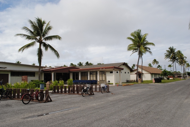
Surfway is on the left side of this photo. A little further down in the photo is the elementary school.
Surfway has a pretty good selection of food and a few household products. Fresh products (especially fruit/veggies) are best found on the day (or day after) the plane comes in.
Planes fly in and out of the airport every day, but the best plane is the army plane on Tuesday (and every other Thursday) that brings us fresh food and mail.
Speaking of fresh food…

Though I wouldn’t trust food growing on the island. While we don’t have any more radiation in the air (from nuclear testing), I heard the soil could still contain enough to contaminate plants grown on some of the islands in the RMI. It’s safe to live in the Marshall Islands now, but you may not want to risk cancer by eating locally-grown produce.
Now for the other shops.
Meet PX, a military chain store.

This is the front of the store that you saw on the far right side of the photo that had the building with the food court, above.
PX has a number of household goods, including sheets, towels, irons, some toiletry items, cosmetics, clothes, shoes, and more. There is also a scuba dive instructor who currently has his own little dive shop set up in there.

Across a street from PX, we have PXtra. (Not kidding.) PXtra has outdoor items such as tools, sporting equipment, and bikes and electronic items such as TVs, cameras, and phones. They also sell a limited number of CDs, DVDs, and Blu-rays.

Next to PXtra (left of this image…and PX is right of this image), we have the Shopette. (Another great name, eh?) The Shopette is kind of like a drug store / gas station mini mart, with snacks (and lots of alcohol), toiletries, cleaning supplies, medicines, office supplies, books, and a DVD rental. Oh, they also have some gas station food (e.g., warm rotating corn dogs).

Next to the PX are a few little shops, the first of which is Micronesian Handicrafts. They sell locally-made stuff. I haven’t been in there yet.

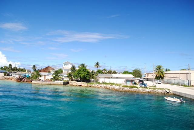
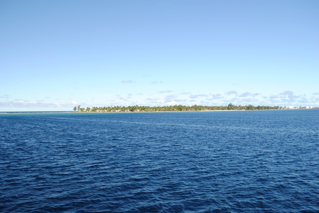
There’s also a thrift store called Bargain Bazaar, and I haven’t been in there either. I’m not even sure how people would get in there, behind that chain-link fence… This is down by the dock, and that’s the lagoon you see in the background, as well as another little island in the atoll.

Another “store”, if you will, down from the PX is the salon and barber shop. The post office is what you see in the background (post office boxes are the dark spots on that wall).
Activities
What do people do around here? Contrary to what you might think on an island with one square mile of land, there is a lot to keep you busy.
Many of the activities, not surprisingly, revolve around the water.

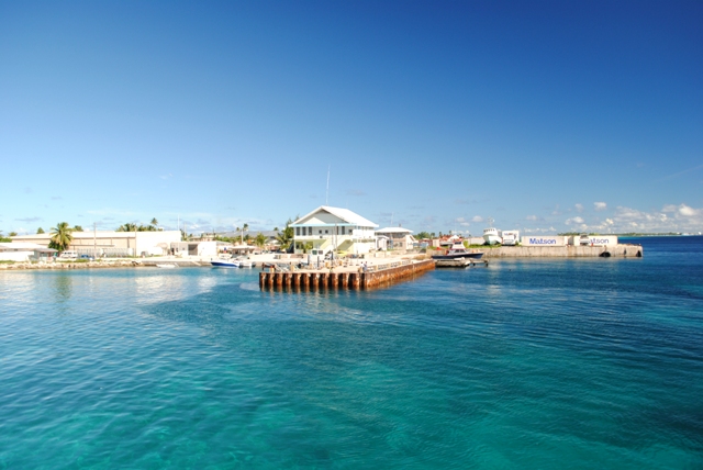
This white building is the small boat marina, down by Echo Pier (the long pier you see on a map or satellite image of Kwaj). You can rent boats and file a float plan here. (There’s also a yacht club on Kwaj.)
The building on the right side of the photo belongs to the scuba club. Divers on Kwaj are supposed to join the scuba club and then you can fill as many tanks of oxygen as you want.
Behind the palm trees, note the big white tent with some containers inside.
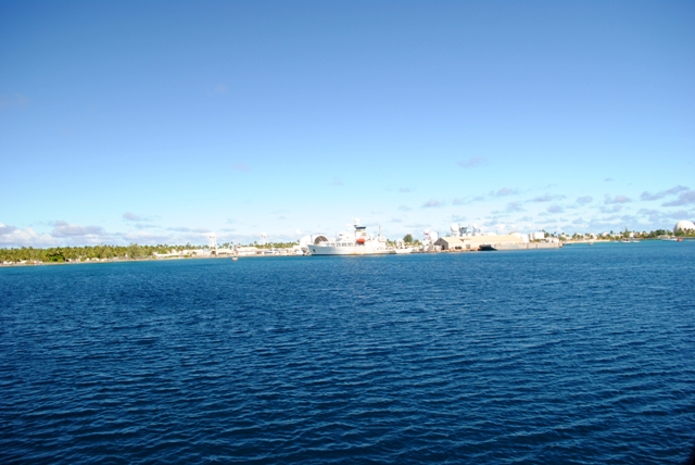
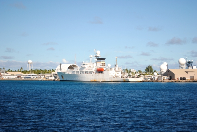
Barges come every other Wednesday, and there was one docked here this day unloading and loading stuff.

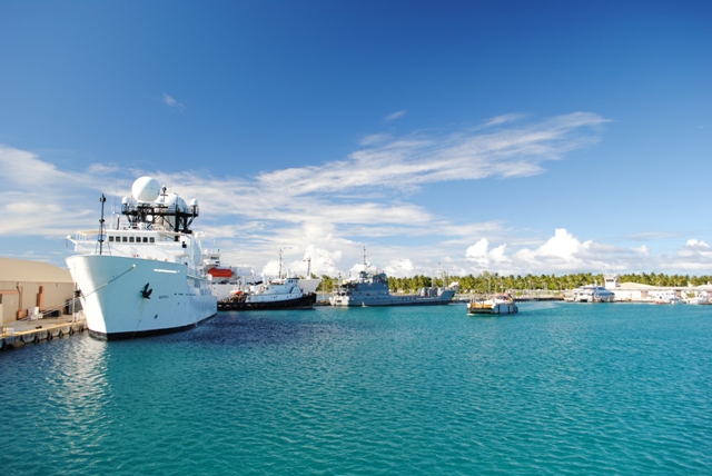
Here’s part of the harbor, with small boats and the barge. This is around where the nurse sharks hang out (see an earlier post from when I arrived on Kwaj).

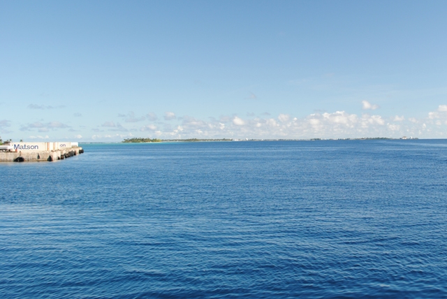
And here’s the barge, shoving off for I’m not sure where. In case you’ve lost your bearings, this is the lagoon, and I’m looking from northeast Kwaj across towards southwest Kwaj.
You can’t quite tell from this resolution, but there’s a white cylinder on the left side of the barge that says SpaceX. SpaceX does some work out here, and has launched Falcon rockets from Omelek (island just north of Meck; see the map of Kwajalein Atoll a couple posts down).

This is part of Emon Beach, one of three little sandy beaches on the lagoon side of Kwaj. Emon Beach is one of the nicer, more popular beaches near the residential areas on northeast Kwaj (this is looking northwest now). This is the only beach that has a lifeguard at times.
There’s also a kayak rental shack at Emon Beach.
If you want to get in some water but don’t feel like swimming/snorkeling/diving/boating in the lagoon or ocean, you can swim in one of the island’s two swimming pools on the ocean side of Kwaj. There is an “adult” pool and a “family” pool, both of which are outdoors and have ocean water pumped in weekly.

If golfing is your thing, here’s a look at part of Kwaj’s 9-hole golf course. The weather radar, KPOL, is on the left side of the image and the airport runway is on the distant right side.

More of the golf course, again looking towards the weather radar and the weather station (behind the palm trees right of center).

Here’s one of several fields near the center of the island, just south of downtown. The chapel is on the far right and one of the theaters, the Rich, is just left of the chapel. Sometimes you’ll see people playing soccer out here. There are also at least a couple baseball/softball fields on the island and some tennis courts, basketball courts, and a skateboard park.

Another field, looking north. The PDR is on the left and the bulk of downtown around there.

Downstairs in this building is the 8-lane bowling alley, and upstairs is the library. I’ve gone bowling here (the place looks like it’s about to fall apart), but I haven’t been to the library yet.

This building is the CRC (Corlett Recreation Center). I’m not sure what all’s in there yet, but I’ve heard there’s racquetball, a gym, and some other stuff. This is up on the north side of the island, around the residential area.

Here’s the ARC (Adult Recreation Center), in the middle of the BQs (Bachelors Quarters). I’ve heard they have faster Internet than the dial-up at home (though still not that fast), a kitchen, I think ping pong tables, and some other things.

Here’s the island chapel, near the airport (left of the image). There are Catholic and Protestant services held here weekly. There are also Jewish, Latter-Day Saints, and Baptist services held elsewhere.
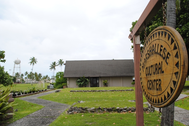
Also next to the airport is the Marshallese Cultural Center. This is only open twice a week in the afternoon, so I haven’t had the chance to check it out yet.
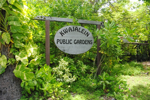
I’ve already mentioned the Kwajalein Public Gardens, where sometimes you’ll see butterflies flying around. There are many beautiful plants and flowers in here. This is on the north side of the south part of the island (i.e., north of the runway).
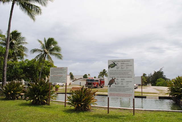
You can also check out the turtle pond, not far from the gardens and right next to the lagoon. They have some rehabilitated turtles in here. Currently there are two sea turtles and some brightly-colored fish.

Check out the sign, both in English and Marshallese. They must have had a problem with people feeding the turtles hot dogs…

One of the sea turtles.
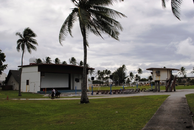
If you want to see a movie, weekend movies are available to watch at the Richardson Theater (aka the Rich). They are typically a few months behind the states.

PG-13 (and above) movies are typically shown at the Yuk, a covered movie theater near the BQs.
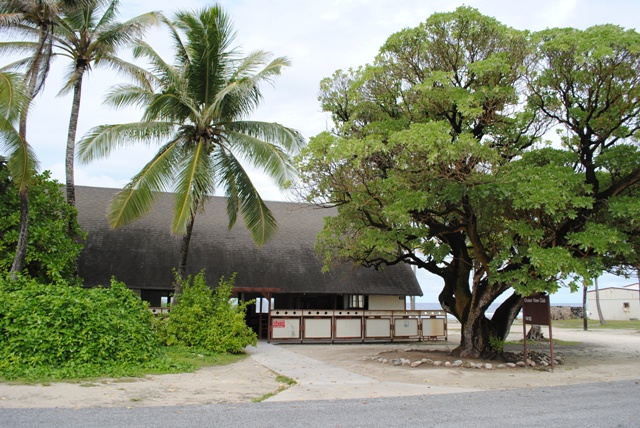
There are two bars on the island. The cheaper, typically more popular one seen here is the Ocean View Club, commonly known as the Snake Pit. The Snake Pit is a short walk from the BQs and has a great view of the ocean.
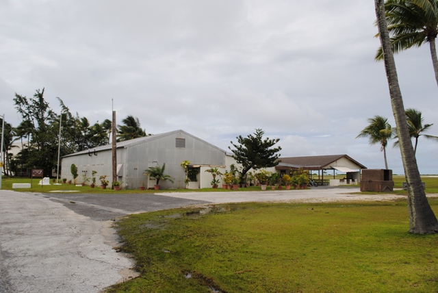
The classier bar, I’ve heard, is the Vets Hall, above. It’s sometimes open just to Veterans, but at other times is open to the public. They have other activities here as well (advertising a dinner coming up soon.) It’s near the airport runway, next to the fire station, on the south part of the island. Sometimes people start their night here and then go to the Snake Pit, as the Vets Hall would be a longish walk and they don’t want to be riding their bikes while intoxicated.

To find out more about activities on the island, you can check out the community TV channel or look in the Hourglass, the island’s weekly newsletter. Also pictured here is the weekly TV/movie guide.
Health
What do you do if you get hurt while engaged in one of the many activities?
Here’s the hospital, freshly painted. It is almost across the street from the Snake Pit and across another street from Sands, the BQ I’m in (white building on the far right).
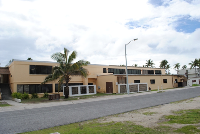
There is also a dentist on the island and an optometrist who sometimes visits the island.

This building houses physical therapy and the vet. There are a number of people on Kwaj who have cats and dogs, and they all have to be approved by the island vet.
Money
There are two banks on the island, one backed by Bank of America (the bank on the left side of the building that houses the food court and PX, see above), and the Bank of the Marshall Islands, down by the dock. Most people probably keep their money in a US bank, though. I was told recently by the Bank of America bank that I couldn’t cash a check I wrote to myself unless I had an account there. I then just used one of the ATMs.
Lodging

If you’re visiting Kwajalein, you’ll probably stay at the Kwaj Lodge. This building also handles housing/BQ assignments. The Kwaj Lodge is on Ocean Road, across the street from the airport and next to the flags you saw in the first photo in this post.
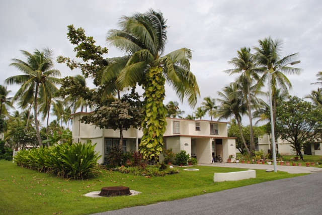
If your status is “accompanied”, i.e., if you’re married and have your spouse/family out here, you’ll get to stay in one of the houses. Most of the houses are two-story duplexes (some fourplexes). Also, many of the houses are older than the BQs, so while it’s nice they’re roomier, they may need more fixing up…. The residential area is on the north (east) side of the island.
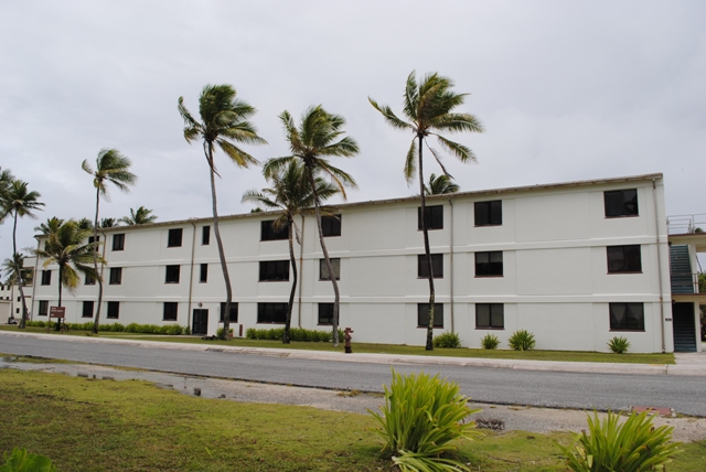
This is Sands, the BQ I live in. There’s also Surf, Shell, Reef, Coral, Palm, and I think another one or two. Th ocean is to my back here.
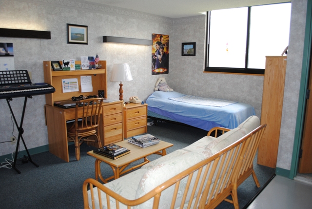
Here’s what the inside looks like, as I walk in the door. The kitchenette and closets are to my right and the bathroom is that door on the right. The rooms are fully furnished, and if you don’t like what you have, you can go to the furniture warehouse and pick out something else you like better (or get on a waiting list), at no cost. Initially I had a chair instead of a full couch, but traded it in yesterday.
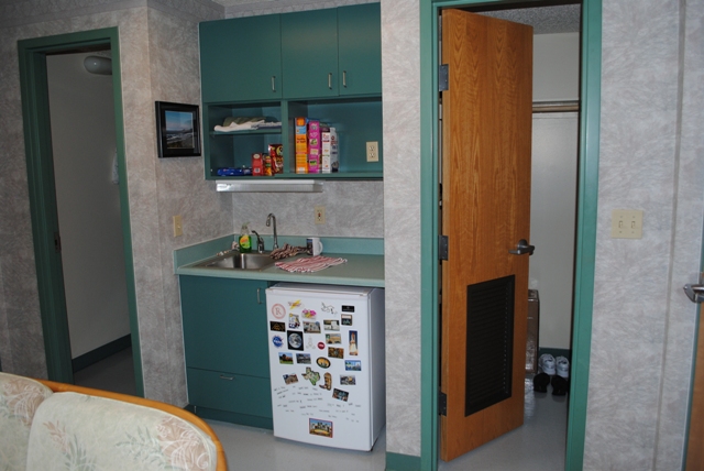
View of the kitchenette and walk-in closets.
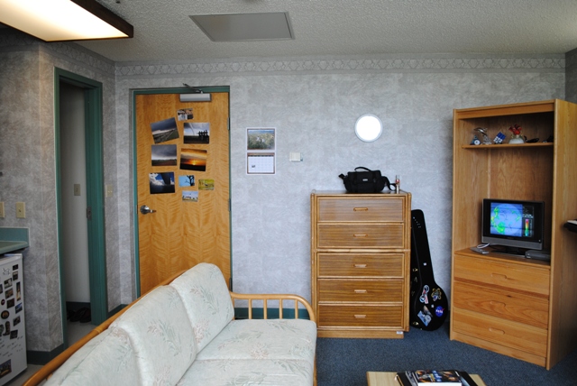
Standing by the bed, looking towards the door. That’s the weather channel playing on the TV (borrowed a TV and DVD player from someone…my new TV should be arriving fairly soon).
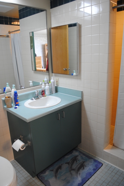
The bathroom, standing at the door. That side mirror is the front of a nice little medicine cabinet.
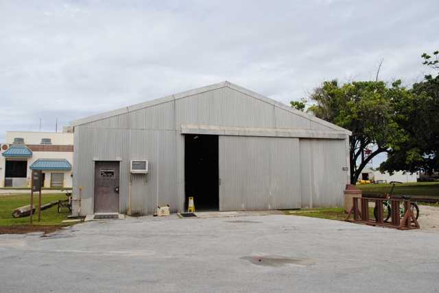
Furniture warehouse.

This is self help. I’m not exactly sure what the deal is, but I think they carry fix-it-yourself things if you want to try fixing something before calling housing (e.g., if you have a light bulb that burned out, they have light bulbs).
Schools
I’m not sure just how many kids are on the island, but I’ve heard there’s a pretty good public school system here. You saw the elementary school next to Surfway in a photo above, and below is the junior/senior high school. This is in the residential area.
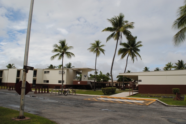
There is also the option of taking a few college classes, as the University of Maryland sometimes has a couple of people here teaching classes. They also offer classes online.
Transportation
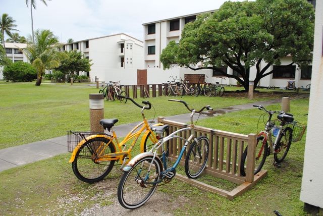
The main mode of transportation on the island is the bicycle. They rust very quickly, as you can probably imagine.
Josh had an extra one that he gave me when I moved here (someone gave it to him when they moved). I’m not sure how old it is (it’s pretty rusted), but it does the job for now.
The silver and turquoise bike below is mine.
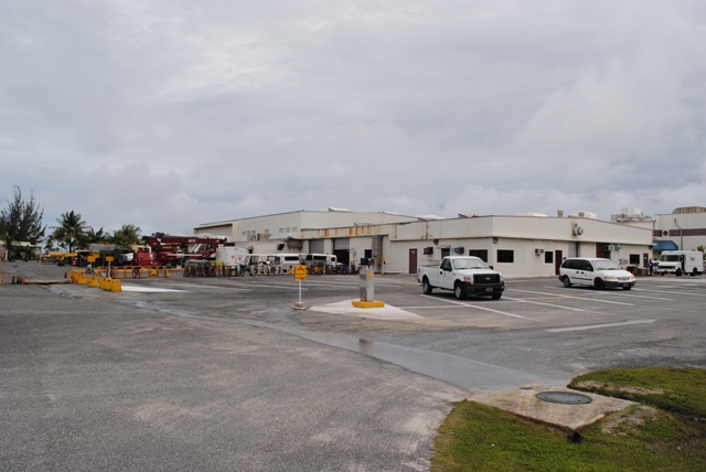
As I’ve mentioned before, there are some company vehicles on the island that we use to go to/from work. Below is the lot where the vehicles must be parked at night. The buildings around here include auto services, a paint shop, a driver license office (you’re supposed to have a Kwaj license in addition to your main license), etc. This is located just west of downtown, about a block from the dock. Most of the vehicles are Ford Rangers or minivans.
If you’re looking to get off-island, the only commercial airline that flies to/from Kwaj is Continental. If you get permission, you could also fly free on ATI, on a military transport plane (the one I flew in on from Honolulu).

The Continental office is between the Micronesian Handicrafts store and the salon (see above).
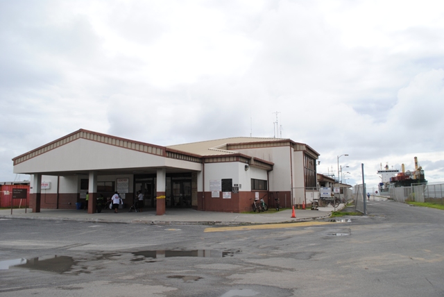
If you just want to go to another island in the atoll, you might take a ferry. This is the dock security checkpoint, where you can take a ferry to Ebeye. The Marshallese workers on Kwaj are required to go back to Ebeye each night a short time after leaving work. I’m not sure why; just seems to be another army security thing. Some people on the island are married to Marshallese people, and they do not have to leave.

While not really related to travel, you might want to know how your mail travels. Everyone on the island has an army post office box. That means whenever someone sends you mail, they only have to put enough postage on it to get it to the US army post office that deals with the region you’re living in. If someone from the US sends me a letter, they need only put a US stamp on it, and it’ll get here.
Once the mail gets to that US army post office, they sort it and transport it (free of charge to us) to the army post office in your area. Pictured above is the Kwajalein Army Post Office. It looks just like any normal US post office.
Work
Finally, I realized I haven’t posted any photos of where I work yet.

Here’s a more close-up view of KPOL, the Kwajalein dual-pol radar.

Here’s the weather station. I have a cubicle downstairs, but when I’m here I’m typically working in the forecast room, downstairs on the far side of the building (looking towards the runway).
Hope you enjoyed my photo tour; keep the questions coming! 🙂

